Solar, County Antrim
| Solar | |
|---|---|
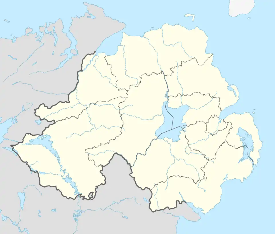 Solar Location within Northern Ireland | |
| District | |
| County | |
| Country | Northern Ireland |
| Sovereign state | United Kingdom |
| Post town | LARNE |
| Postcode district | BT40 |
| Dialling code | 028 |
| Police | Northern Ireland |
| Fire | Northern Ireland |
| Ambulance | Northern Ireland |
Solar (from Irish Saileachar, meaning 'willow-tree place')[1] is a townland of 42 acres in County Antrim, Northern Ireland. It is situated in the civil parish of Carncastle and the historic barony of Glenarm Upper.[2]
Archaeology
The sites of a church and graveyard in the townland are registered as Scheduled Historic Monuments at grid ref: D3440 1220 [3] and an Early Christian cemetery was excavated in 1993. This revealed over 120 burials dated from the 7th to 12th centuries. Some burials had been disturbed by a stone-lined pit of Anglo-Norman date.[4]
See also
References
- ^ a b "Solar, County Antrim". placenamesni.org. Retrieved 22 November 2021.
- ^ "Solar". IreAtlas Townlands Database. Retrieved 21 April 2015.
- ^ "Solar" (PDF). Scheduled Historic Monuments (2015). Northern Ireland Environment Agency. Retrieved 21 April 2015.
- ^ "The excavation of an Early Christian cemetery at Solar, County Antrim, 1993". British and Irish archaeological bibliography. Retrieved 21 April 2015.