Sip, Kentucky
Sip, Kentucky | |
|---|---|
 Sip  Sip | |
| Coordinates: 37°55′30″N 82°49′40″W / 37.92500°N 82.82778°W | |
| Country | United States |
| State | Kentucky |
| County | Johnson |
| Elevation | 837 ft (255 m) |
| Time zone | UTC-5 (Eastern (EST)) |
| • Summer (DST) | UTC-4 (EDT) |
| ZIP codes | 41219 |
| GNIS feature ID | 509064 |
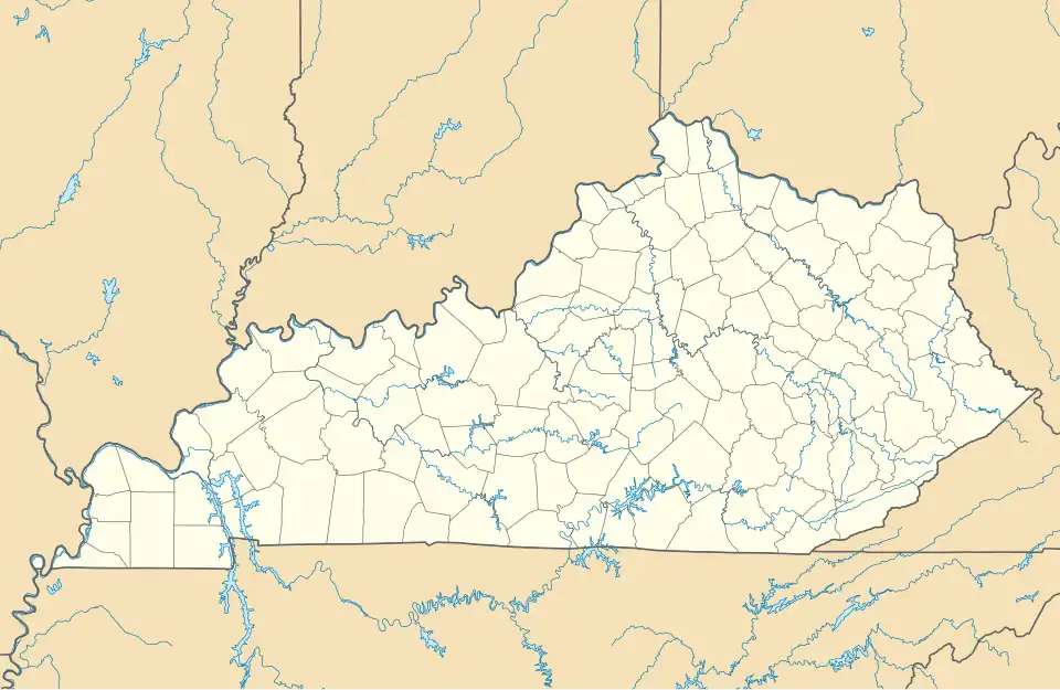
Sip is an unincorporated community in Johnson County, Kentucky, United States. It is located at an elevation of 837 feet (255 m).[1] Its ZIP code is 41219.
References
- ^ U.S. Geological Survey Geographic Names Information System: Sip, Kentucky Retrieved on 2010-2-10
Municipalities and communities of Johnson County, Kentucky, United States | ||
|---|---|---|
| City | 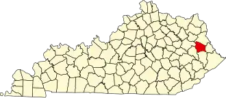 | |
| CDPs | ||
| Other unincorporated communities |
| |