Shiraguppi
Shiraguppi | |
|---|---|
village | |
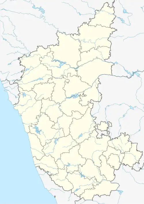 Shiraguppi Location in Karnataka, India  Shiraguppi Shiraguppi (India) | |
| Coordinates: 16°43′N 75°04′E / 16.72°N 75.06°E | |
| Country | |
| State | Karnataka |
| District | Belgaum |
| Talukas | Kagwad (Karnataka) |
| Population (2001) | |
• Total | 9,189 |
| Languages | |
| • Official | Kannada, |
| Time zone | UTC+5:30 (IST) |
| PIN | 591242 |
| Telephone code | 08339 |
| Vehicle registration | KA 23 |
| Nearest city | Chikodi & Athani |
| Lok Sabha constituency | Chikodi |
| Vidhan Sabha constituency | Kagwad |
| Climate | Good (Köppen) |
Shiraguppi is a village in the southern state of Karnataka, India,[1][2] in the Kagwad taluk of Belgaum district.
Demographics
According to the 2001 Indian census, Shiraguppi had a population of 9189 with 4676 males and 4513 females.[1]
References
- ^ a b Village code= 16600 "Census of India : Villages with population 5000 & above". Registrar General & Census Commissioner, India. Retrieved 18 December 2008.
- ^ "Yahoomaps India : Shiraguppi, Belgaum, Karnataka". Retrieved 18 December 2008.