Shakerley Mere
| Shakerley Mere | |
|---|---|
 Shakerley Mere from the south | |
 Shakerley Mere | |
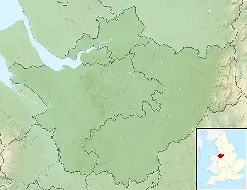
| Location | Allostock, Cheshire |
| Coordinates | 53°14′10″N 2°24′10″W / 53.236077°N 2.402643°W |
| Type | Quarry lake |
| Managing agency | Cheshire West and Chester Unitary Authority |
| First flooded | 1960s |
| Surface area | 17 acres (6.9 ha) |
| Surface elevation | 45 metres (148 ft)[1] |
Shakerley Mere is a lake and recreation area near Allostock, Cheshire, England. The mere is a former sand quarry, which flooded after extraction ended in the 1960s.[2] Roughly triangular in shape, it bounded to the east by the M6 motorway and on the other two sides by the B5081 and B5082 roads.[1] The site is managed for recreation by Cheshire West and Chester Council. There is a small amount of heathland, a designated site of biological importance, in the southeast corner, and a circular path runs around the perimeter of the lake, a distance of 0.9 miles (1.4 km).[2]
The fishing rights are leased by Lymm Angling Club (the lake is stocked with carp, bream, roach and perch[3]). In 2014 a small number of introduced bighead and silver carp were removed from the water.[4]
See also
- List of parks and open spaces in Cheshire
- Astbury Mere, another Cheshire mere that originated in a sand quarry
References
- ^ a b 267: Northwich & Delamere Forest (Map). 1:25000. Explorer. Ordnance Survey.
- ^ a b Shakerley Mere (on-site noticeboard), Cheshire West and Chester Council
- ^ "Shakerley Mere". Visit Chester. Retrieved 12 October 2018.
- ^ "Non-native fish removed from mere". Knutsford Guardian. 9 October 2014. Retrieved 12 October 2018.