Shahtut
Shahtut | |
|---|---|
 Shahtut | |
| Coordinates: 34°32′N 72°23′E / 34.54°N 72.39°E | |
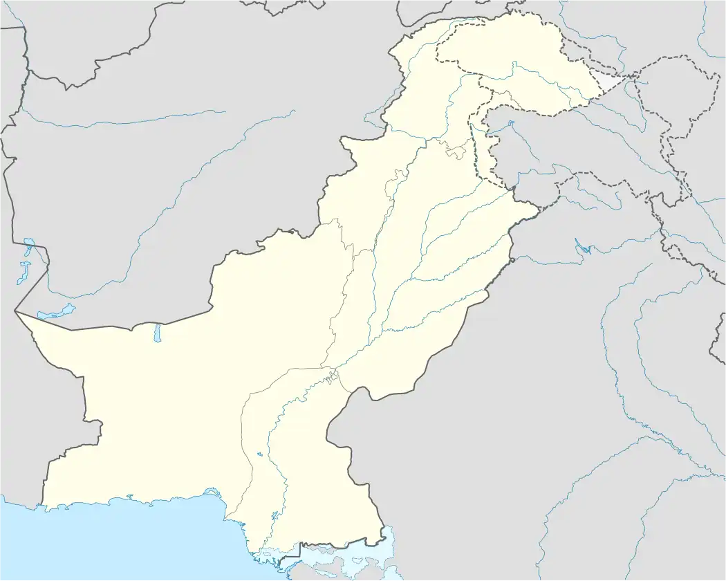
| Country | |
| Province | |
| Elevation | 1,471 m (4,826 ft) |
| Time zone | UTC+5 (PST) |
Shahtut a town of Shangla District in Khyber Pakhtunkhwa province of Pakistan. It is located at 34°54′0″N 72°39′0″E / 34.90000°N 72.65000°E and has an average elevation of 1471 metres 4829 feet).[1]
References
- ^ Falling Rain - Location of Shahtut Archived 2007-10-25 at archive.today
Populated places in Shangla District | ||
|---|---|---|
| Tehsils | ||
| Cities and towns | ||
| Villages | ||