Shabaqua
Shabaqua | |
|---|---|
dispersed rural community unincorporated area | |
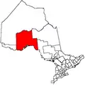
 Shabaqua Location in Ontario | |
| Coordinates: 48°34′30″N 89°54′21″W / 48.57500°N 89.90583°W[1] | |
| Country | Canada |
| Province | Ontario |
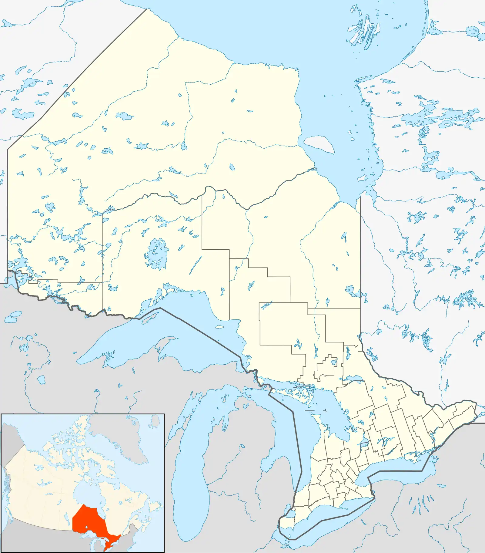
| District | Thunder Bay |
| Geographic township | Laurie |
| Elevation | 397 m (1,302 ft) |
| Time zone | UTC-5 (Eastern Time Zone) |
| • Summer (DST) | UTC-4 (Eastern Time Zone) |
| Postal Code | |
| Area code | 807 |
Shabaqua is a dispersed rural community and unincorporated area in geographic Laurie Township[3] in the Unorganized Part of Thunder Bay District in Northwestern Ontario, Canada.[1] It is on the right bank of the Shebandowan River, as well as on a Canadian National Railway main line, built originally as the Canadian Northern Railway transcontinental main line, between Mabella to the west and Glenwater to the southeast.
References
- ^ a b "Shabaqua". Geographical Names Data Base. Natural Resources Canada. Retrieved 2014-09-02.
- ^ Taken from Google Earth at geographic coordinates, accessed 2014-09-02.
- ^ "Laurie" (PDF). Geology Ontario - Historic Claim Maps. Ontario Ministry of Northern Development, Mines and Forestry. Retrieved 2022-10-14.
Other map sources:
- Map 13 (PDF) (Map). 1 : 1,600,000. Official road map of Ontario. Ministry of Transportation of Ontario. 2014. Retrieved 2014-09-02.
- Restructured municipalities - Ontario map #2 (Map). Restructuring Maps of Ontario. Ontario Ministry of Municipal Affairs and Housing. 2006. Retrieved 2014-09-02.