Santiago do Escoural
Santiago do Escoural | |
|---|---|
 Coat of arms | |
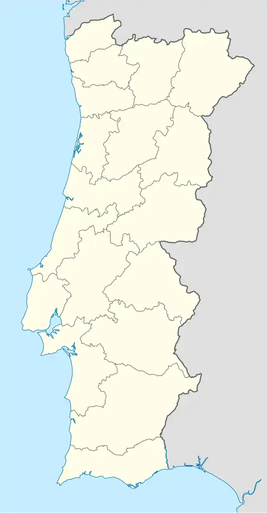 Santiago do Escoural Location in Portugal | |
| Coordinates: 38°32′31″N 8°10′05″W / 38.542°N 8.168°W | |
| Country | |
| Region | Alentejo |
| Intermunic. comm. | Alentejo Central |
| District | Évora |
| Municipality | Montemor-o-Novo |
| Area | |
• Total | 138.70 km2 (53.55 sq mi) |
| Population (2011) | |
• Total | 1,335 |
| • Density | 9.6/km2 (25/sq mi) |
| Time zone | UTC+00:00 (WET) |
| • Summer (DST) | UTC+01:00 (WEST) |
Santiago do Escoural, also Escoural, is a civil parish in the municipality of Montemor-o-Novo, in the district of Évora, in Portugal. The population in 2011 was 1,335,[1] in an area of 138.70 km2.[2]
The Escoural cave is a couple kilometres from the town. The cave is known for its Paleolithic rock art and burial site.
References