San Rafael District, Poás
San Rafael | |
|---|---|
San Rafael district | |
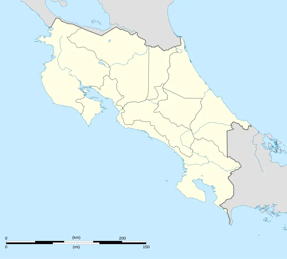 San Rafael San Rafael district location in Costa Rica | |
| Coordinates: 10°05′52″N 84°15′24″W / 10.0978421°N 84.2566789°W | |
| Country | |
| Province | Alajuela |
| Canton | Poás |
| Area | |
• Total | 14.19 km2 (5.48 sq mi) |
| Elevation | 1,250 m (4,100 ft) |
| Population (2011) | |
• Total | 5,436 |
| • Density | 380/km2 (990/sq mi) |
| Time zone | UTC−06:00 |
| Postal code | 20803 |
San Rafael is a district of the Poás canton, in the Alajuela province of Costa Rica.[1][2]
Geography
San Rafael has an area of 14.19 km2[3] and an elevation of 1,250 metres.[1]
Demographics
| Census | Pop. | ±% p.a. |
|---|---|---|
| 1927 | 1,010 | — |
| 1950 | 1,223 | +0.84% |
| 1963 | 2,026 | +3.96% |
| 1973 | 2,301 | +1.28% |
| 1984 | 2,586 | +1.07% |
| 2000 | 5,025 | +4.24% |
| 2011 | 5,436 | +0.72% |
| 2022 | 7,421 | +2.87% |
| Source: Instituto Nacional de Estadística y Censos[4] Centro Centroamericano de Población[5] | ||
For the 2011 census, San Rafael had a population of 5,436 inhabitants.[6]
Transportation
Road transportation
The district is covered by the following road routes:
References
- ^ a b "Declara oficial para efectos administrativos, la aprobación de la División Territorial Administrativa de la República N°41548-MGP". Sistema Costarricense de Información Jurídica (in Spanish). 19 March 2019. Retrieved 26 September 2020.
- ^ División Territorial Administrativa de la República de Costa Rica (PDF) (in Spanish). Editorial Digital de la Imprenta Nacional. 8 March 2017. ISBN 978-9977-58-477-5.
- ^ "Área en kilómetros cuadrados, según provincia, cantón y distrito administrativo". Instituto Nacional de Estadística y Censos (in Spanish). Archived from the original on 16 September 2020. Retrieved 26 September 2020.
- ^ "Instituto Nacional de Estadística y Censos" (in Spanish).
- ^ Centro Centroamericano de Población de la Universidad de Costa Rica. "Sistema de Consulta a Bases de Datos Estadísticas" (in Spanish).
- ^ "Censo. 2011. Población total por zona y sexo, según provincia, cantón y distrito". Instituto Nacional de Estadística y Censos (in Spanish). Retrieved 26 September 2020.