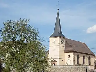
Sainte-Hélène, Vosges
Sainte-Hélène | |
|---|---|
 Saint-Georges | |
Location of Sainte-Hélène | |
 Sainte-Hélène  Sainte-Hélène | |
| Coordinates: 48°17′28″N 6°39′26″E / 48.2911°N 6.6572°E | |
| Country | France |
| Region | Grand Est |
| Department | Vosges |
| Arrondissement | Épinal |
| Canton | Bruyères |
| Intercommunality | CC Région de Rambervillers |
| Government | |
| • Mayor (2020–2026) | Michel Pourchert[1] |
Area 1 | 17.05 km2 (6.58 sq mi) |
| Population (2022)[2] | 445 |
| • Density | 26/km2 (68/sq mi) |
| Time zone | UTC+01:00 (CET) |
| • Summer (DST) | UTC+02:00 (CEST) |
| INSEE/Postal code | 88418 /88700 |
| Elevation | 300–389 m (984–1,276 ft) (avg. 316 m or 1,037 ft) |
| 1 French Land Register data, which excludes lakes, ponds, glaciers > 1 km2 (0.386 sq mi or 247 acres) and river estuaries. | |
Sainte-Hélène (French pronunciation: [sɛ̃t elɛn] ⓘ) is a commune in the Vosges department in Grand Est in northeastern France.
Geography
The village lies in the middle of the commune, on the right bank of the Arentèle, a tributary of the Mortagne, which forms most of the commune's eastern border.
See also
References
- ^ "Répertoire national des élus: les maires". data.gouv.fr, Plateforme ouverte des données publiques françaises (in French). 2 December 2020.
- ^ "Populations de référence 2022" (in French). The National Institute of Statistics and Economic Studies. 19 December 2024.
Wikimedia Commons has media related to Sainte-Hélène (Vosges).