Sainte-Colombe-de-Duras
Sainte-Colombe-de-Duras | |
|---|---|
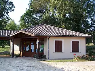 The town hall in Sainte-Colombe-de-Duras | |
Location of Sainte-Colombe-de-Duras | |
 Sainte-Colombe-de-Duras  Sainte-Colombe-de-Duras | |
| Coordinates: 44°41′29″N 0°07′32″E / 44.6914°N 0.1256°E | |
| Country | France |
| Region | Nouvelle-Aquitaine |
| Department | Lot-et-Garonne |
| Arrondissement | Marmande |
| Canton | Les Coteaux de Guyenne |
| Intercommunality | Pays de Duras |
| Government | |
| • Mayor (2020–2026) | Sylvie Wojciechowski-Goulard[1] |
Area 1 | 6.97 km2 (2.69 sq mi) |
| Population (2022)[2] | 100 |
| • Density | 14/km2 (37/sq mi) |
| Time zone | UTC+01:00 (CET) |
| • Summer (DST) | UTC+02:00 (CEST) |
| INSEE/Postal code | 47236 /47120 |
| Elevation | 32–115 m (105–377 ft) (avg. 68 m or 223 ft) |
| 1 French Land Register data, which excludes lakes, ponds, glaciers > 1 km2 (0.386 sq mi or 247 acres) and river estuaries. | |
Sainte-Colombe-de-Duras (French pronunciation: [sɛ̃t kɔlɔ̃b də dyʁas], literally Sainte-Colombe of Duras; Occitan: Senta Colomba de Duràs) is a commune in the Lot-et-Garonne department in south-western France.[3]
See also
References
- ^ "Répertoire national des élus: les maires" (in French). data.gouv.fr, Plateforme ouverte des données publiques françaises. 13 September 2022.
- ^ "Populations de référence 2022" (in French). The National Institute of Statistics and Economic Studies. 19 December 2024.
- ^ INSEE commune file
Wikimedia Commons has media related to Sainte-Colombe-de-Duras.