Saint-Ouen-Domprot
Saint-Ouen-Domprot | |
|---|---|
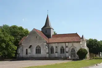 The church in Saint-Ouen-Domprot | |
Location of Saint-Ouen-Domprot | |
 Saint-Ouen-Domprot  Saint-Ouen-Domprot | |
| Coordinates: 48°36′35″N 4°24′32″E / 48.6097°N 4.4089°E | |
| Country | France |
| Region | Grand Est |
| Department | Marne |
| Arrondissement | Vitry-le-François |
| Canton | Vitry-le-François-Champagne et Der |
| Government | |
| • Mayor (2020–2026) | Philippe Coquin[1] |
Area 1 | 37.28 km2 (14.39 sq mi) |
| Population (2022)[2] | 201 |
| • Density | 5.4/km2 (14/sq mi) |
| Time zone | UTC+01:00 (CET) |
| • Summer (DST) | UTC+02:00 (CEST) |
| INSEE/Postal code | 51508 /51320 |
| Elevation | 124 m (407 ft) |
| 1 French Land Register data, which excludes lakes, ponds, glaciers > 1 km2 (0.386 sq mi or 247 acres) and river estuaries. | |
Saint-Ouen-Domprot (French pronunciation: [sɛ̃.t‿wɛ̃ dɔ̃pʁo]) is a commune in the Marne department in north-eastern France.[3]
See also
References
- ^ "Répertoire national des élus: les maires" (in French). data.gouv.fr, Plateforme ouverte des données publiques françaises. 4 May 2022.
- ^ "Populations de référence 2022" (in French). The National Institute of Statistics and Economic Studies. 19 December 2024.
- ^ INSEE commune file
Wikimedia Commons has media related to Saint-Ouen-Domprot.