Saint-Adalbert, Quebec
Saint-Adalbert | |
|---|---|
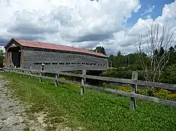 Pont Du Sault | |
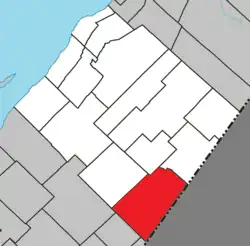 Location within L'Islet RCM | |
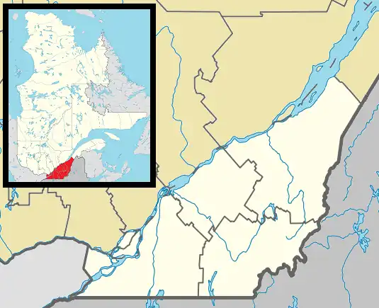 Saint-Adalbert Location in southern Quebec | |
| Coordinates: 46°52′N 69°54′W / 46.867°N 69.900°W[1] | |
| Country | |
| Province | |
| Region | Chaudière-Appalaches |
| RCM | L'Islet |
| Constituted | August 26, 1911 |
| Government | |
| • Mayor | René Laverdière |
| • Federal riding | Côte-du-Sud—Rivière-du-Loup—Kataskomiq—Témiscouata |
| • Prov. riding | Côte-du-Sud |
| Area | |
• Total | 217.90 km2 (84.13 sq mi) |
| • Land | 216.16 km2 (83.46 sq mi) |
| Population | |
• Total | 460 |
| • Density | 2.1/km2 (5/sq mi) |
| • Pop 2016-2021 | |
| • Dwellings | 251 |
| Time zone | UTC−5 (EST) |
| • Summer (DST) | UTC−4 (EDT) |
| Postal code(s) | |
| Area codes | 418 and 581 |
| Highways | |
| Website | www |
Saint-Adalbert (French pronunciation: [sɛ̃t‿adalbɛʁ]) is a municipality in Quebec, Canada, on the Canada–United States border.
See also
- L'Islet Regional County Municipality
- Big Black River (Saint John River), a river
- List of municipalities in Quebec
References
- ^ "Banque de noms de lieux du Québec: Reference number 55485". toponymie.gouv.qc.ca (in French). Commission de toponymie du Québec.
- ^ a b "Répertoire des municipalités: Geographic code 17015". www.mamh.gouv.qc.ca (in French). Ministère des Affaires municipales et de l'Habitation.
- ^ a b "Profile table, Census Profile, 2021 Census of Population - Saint-Adalbert, Municipalité (MÉ) [Census subdivision], Quebec". 9 February 2022.
External links
 Media related to Saint-Adalbert, Quebec at Wikimedia Commons
Adjacent Municipal Subdivisions | |
|---|---|
| Cities & towns | |
|---|---|
| Municipalities | |
| Parishes | |
| |