Saint-Éloy-de-Gy
Saint-Éloy-de-Gy | |
|---|---|
Location of Saint-Éloy-de-Gy | |
 Saint-Éloy-de-Gy 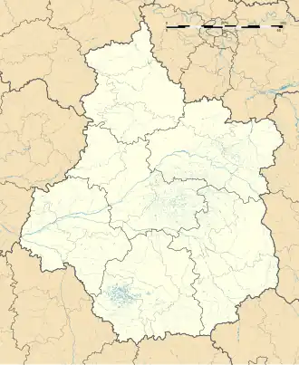 Saint-Éloy-de-Gy | |
| Coordinates: 47°09′25″N 2°20′35″E / 47.1569°N 2.3431°E | |
| Country | France |
| Region | Centre-Val de Loire |
| Department | Cher |
| Arrondissement | Bourges |
| Canton | Saint-Martin-d'Auxigny |
| Intercommunality | CC Terres du Haut Berry |
| Government | |
| • Mayor (2020–2026) | Gilles Benoit[1] |
Area 1 | 31.2 km2 (12.0 sq mi) |
| Population (2022)[2] | 1,569 |
| • Density | 50/km2 (130/sq mi) |
| Time zone | UTC+01:00 (CET) |
| • Summer (DST) | UTC+02:00 (CEST) |
| INSEE/Postal code | 18206 /18110 |
| Elevation | 133–235 m (436–771 ft) (avg. 150 m or 490 ft) |
| 1 French Land Register data, which excludes lakes, ponds, glaciers > 1 km2 (0.386 sq mi or 247 acres) and river estuaries. | |
Saint-Éloy-de-Gy (French pronunciation: [sɛ̃.t‿elwa də ʒi]) is a commune in the Cher department in the Centre-Val de Loire region of France.
Geography
Saint-Éloy-de-Gy is an area of forestry and farming comprising two villages and several hamlets situated some 5 miles (8.0 km) northwest of Bourges, at the junction of the D944 with the D160 and D68 roads.
Population
| Year | Pop. | ±% |
|---|---|---|
| 1962 | 972 | — |
| 1968 | 1,028 | +5.8% |
| 1975 | 920 | −10.5% |
| 1982 | 1,071 | +16.4% |
| 1990 | 1,269 | +18.5% |
| 1999 | 1,382 | +8.9% |
| 2008 | 1,530 | +10.7% |
Sights
- The church of St. Éloy, dating from the twelfth century.
- The fifteenth-century Château de Dame.
See also
References
- ^ "Répertoire national des élus: les maires". data.gouv.fr, Plateforme ouverte des données publiques françaises (in French). 9 August 2021.
- ^ "Populations de référence 2022" (in French). The National Institute of Statistics and Economic Studies. 19 December 2024.
External links
Wikimedia Commons has media related to Saint-Éloy-de-Gy.
- The commune’s sports association website (in French)