São Teotónio
São Teotónio | |
|---|---|
 Coat of arms | |
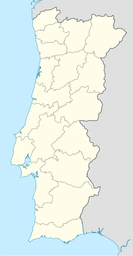 São Teotónio Location in Portugal | |
| Coordinates: 37°30′32″N 8°42′18″W / 37.509°N 8.705°W | |
| Country | |
| Region | Alentejo |
| Intermunic. comm. | Alentejo Litoral |
| District | Beja |
| Municipality | Odemira |
| Area | |
• Total | 347.25 km2 (134.07 sq mi) |
| Population (2011) | |
• Total | 6,439 |
| • Density | 19/km2 (48/sq mi) |
| Time zone | UTC+00:00 (WET) |
| • Summer (DST) | UTC+01:00 (WEST) |
São Teotónio is a civil parish in the municipality of Odemira, Portugal. The population in 2011 was 6,439,[1] in an area of 347.25 km2.[2] In 2013 the former parish Zambujeira do Mar merged into the existing parish of São Teotónio.[3]
References
- ^ Instituto Nacional de Estatística (INE), Census 2011 results according to the 2013 administrative division of Portugal
- ^ Áreas das freguesias, concelhos, distritos e país
- ^ Diário da República. "Law nr. 11-A/2013, pages 552 81-82" (pdf) (in Portuguese). Retrieved 29 July 2014.