São Caetano (Cantanhede)
São Caetano | |
|---|---|
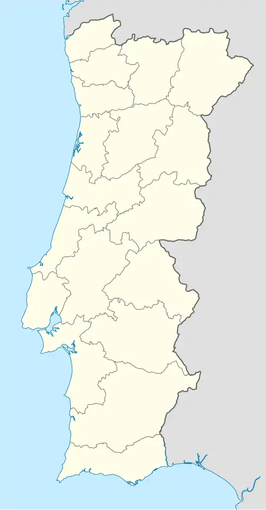 São Caetano Location in Portugal | |
| Coordinates: 40°22′55″N 8°40′44″W / 40.382°N 8.679°W | |
| Country | |
| Region | Centro |
| Intermunic. comm. | Região de Coimbra |
| District | Coimbra |
| Municipality | Cantanhede |
| Area | |
• Total | 19.04 km2 (7.35 sq mi) |
| Population (2011) | |
• Total | 801 |
| • Density | 42/km2 (110/sq mi) |
| Time zone | UTC+00:00 (WET) |
| • Summer (DST) | UTC+01:00 (WEST) |
| Website | www |
.jpg)
São Caetano is a civil parish in the municipality of Cantanhede, Portugal. The population in 2011 was 801,[1] in an area of 19.04 km².[2] It contains 10 settlements: Perboi de Cima, Perboi de Baixo, Rilhóses, Sardão, Olho de S. Caetano, S. Caetano, Corgo Côvo, Criação, Pisão and Cantos.
References