Ruffneck Peak
| Ruffneck Peak | |
|---|---|
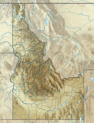 Ruffneck Peak Location in Idaho  Ruffneck Peak Location in the United States | |
| Highest point | |
| Elevation | 9,407 ft (2,867 m)[1] |
| Prominence | 1,594 ft (486 m)[1] |
| Coordinates | 44°28′54″N 115°09′18″W / 44.48167°N 115.15500°W[2] |
| Geography | |
| Location | Custer County, Idaho, U.S. |
| Parent range | Salmon River Range |
| Topo map(s) | USGS Cape Horn Lakes, ID |
| Climbing | |
| Easiest route | Hike |
Ruffneck Peak (9,407 feet (2,867 m)) is in the Salmon River Mountains in the U.S. state of Idaho. The peak is located in Salmon-Challis National Forests.[1][3] A historic fire lookout is on top of Ruffneck Peak. Constructed in 1932, the fire lookout is staffed seasonally.[4]
References
- ^ a b c "Ruffneck Peak, Idaho". Peakbagger.com. Retrieved April 27, 2020.
- ^ "Ruffneck Peak". Geographic Names Information System. United States Geological Survey, United States Department of the Interior. Retrieved April 27, 2020.
- ^ Cape Horn Lakes, ID (Map). TopoQwest (United States Geological Survey Maps). Retrieved April 27, 2020.
- ^ "Ruffneck Peak Lookout". National Historic Lookout Register. Retrieved April 27, 2020.