Rowland Flat, South Australia
| Rowland Flat South Australia | |||||||||||||||
|---|---|---|---|---|---|---|---|---|---|---|---|---|---|---|---|
 Rowland Flat | |||||||||||||||
| Coordinates | 34°35′0″S 138°56′0″E / 34.58333°S 138.93333°E | ||||||||||||||
| Population | 361 (2006 census)[1] | ||||||||||||||
| Postcode(s) | 5352 | ||||||||||||||
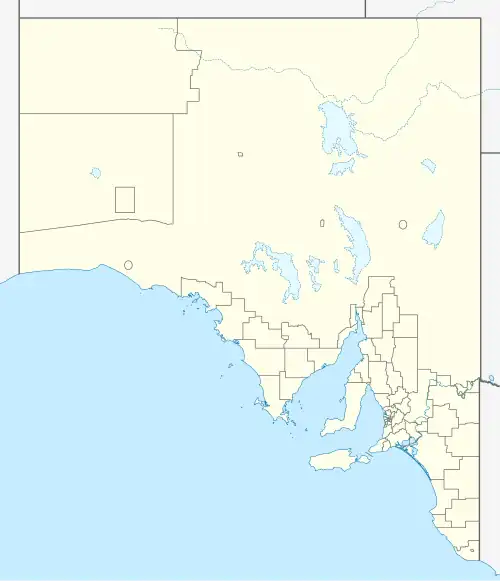
| Location | 63 km (39 mi) North East of Adelaide via | ||||||||||||||
| LGA(s) | Barossa Council and Light Regional Council | ||||||||||||||
| State electorate(s) | Schubert | ||||||||||||||
| Federal division(s) | Barker | ||||||||||||||
| |||||||||||||||
Rowland Flat, formerly Rowland's Flat and Rowlands Flat, is a small South Australian town in the Barossa Valley, located on the Barossa Valley Highway between Lyndoch and Tanunda.
See also
References
- ^ Australian Bureau of Statistics (25 October 2007). Rowland Flat (State Suburb). 2006 Census Quickstats. Retrieved 2008-05-29