Rogersburg, Washington
Rogersburg, Washington | |
|---|---|
 Rogersburg | |
| Coordinates: 46°4′42″N 116°58′47″W / 46.07833°N 116.97972°W | |
| Country | United States |
| State | Washington |
| County | Asotin |
| Elevation | 856 ft (261 m) |
| Time zone | UTC-8 (Pacific (PST)) |
| • Summer (DST) | UTC-7 (PDT) |
| ZIP Code | 99402 |
| Area code | 509 |
| GNIS feature ID | 1511268[1] |
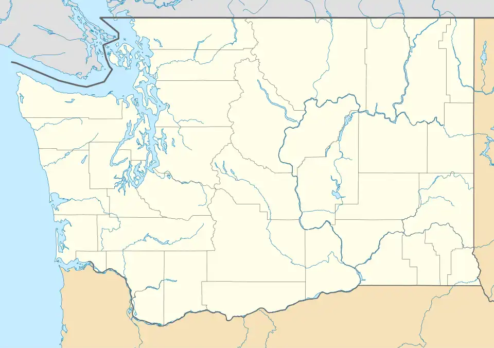
Rogersburg is an unincorporated community in Asotin County, in the U.S. state of Washington.[1] The community is situated across from the state line with Idaho on the southern bank at the confluence of the Grande Ronde and Snake rivers.[2]
History
A post office called Rogersburg was in operation from 1912 until 1939.[3] The community was named after G. A. Rogers, local landowner.[4]
Rogersburg is accessible by Snake River Road, and the road travels along the Snake River before turning toward the mountains at the community.
References
- ^ a b c U.S. Geological Survey Geographic Names Information System: Rogersburg, Washington
- ^ "Limekiln Rapids Quadrangle" (7.5 minute quadrangle topographic map). usgs.gov. U.S. Geological Survey. 2020. Retrieved October 10, 2023.
- ^ "Post Offices". Jim Forte Postal History. Retrieved August 22, 2016.
- ^ Meany, Edmond S. (1923). Origin of Washington geographic names. Seattle: University of Washington Press. p. 247.
Municipalities and communities of Asotin County, Washington, United States | ||
|---|---|---|
| Cities | 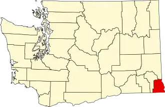 | |
| CDPs | ||
| Other communities | ||
| Ghost towns |
| |