Rinhat
Rinhat | |
|---|---|
OpenStreetMap | |
 Rinhat 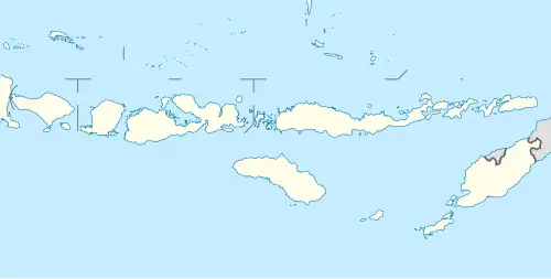 Rinhat 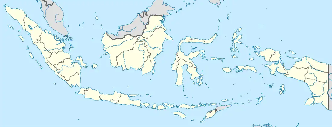 Rinhat | |
| Coordinates: 9°36′23.47247″S 124°44′10.82015″E / 9.6065201306°S 124.7363389306°E | |
| Country | |
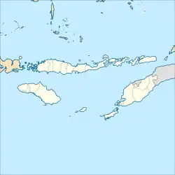
| Region | Lesser Sunda Islands |
| Province | East Nusa Tenggara |
| Regency | Malaka |
| District seat | Biudukfoho |
| Area | |
• Total | 151.72 km2 (58.58 sq mi) |
| Population (2023)[1] | |
• Total | 28,278 |
| • Density | 190/km2 (480/sq mi) |
| Time zone | UTC+8 (ICT) |
| Villages | 20 |
Rinhat is a district in Malaka Regency, East Nusa Tenggara, Indonesia.[2] In 2023, this district had a population of 28,278 people with an area of 151.72 km2.[1]
Governance
Villages
Administratively, Rinhat District consists of 20 villages, namely:[1]
| Regional code (Kode wilayah) |
Name | Area (km2) |
Population (2023) |
|---|---|---|---|
| 53.21.05.2001 | Saenama | 10.54 | 1,333 |
| 53.21.05.2002 | Wekmidar | 6.12 | 889 |
| 53.21.05.2003 | Lotas | 8.13 | 561 |
| 53.21.05.2004 | Nanin | 7.21 | 1,051 |
| 53.21.05.2005 | Alala | 13.59 | 1,078 |
| 53.21.05.2006 | Oekmurak | 3.60 | 1,032 |
| 53.21.05.2007 | Webetun | 2.25 | 752 |
| 53.21.05.2008 | Naet | 7.15 | 1,595 |
| 53.21.05.2009 | Biudukfoho | 2.43 | 1,473 |
| 53.21.05.2010 | Niti | 2.25 | 1,137 |
| 53.21.05.2011 | Tafuli | 6.21 | 851 |
| 53.21.05.2012 | Boen | 6.57 | 1,266 |
| 53.21.05.2013 | Wekeke | 6.17 | 1,162 |
| 53.21.05.2014 | Raisamane | 10.78 | 1,256 |
| 53.21.05.2015 | Weain | 9.88 | 1,100 |
| 53.21.05.2016 | Nabutaek | 13.55 | 988 |
| 53.21.05.2017 | Tafuli I | 16.84 | 851 |
| 53.21.05.2018 | Nanebot | 8.74 | 808 |
| 53.21.05.2019 | Muke | 4.84 | 534 |
| 53.21.05.2020 | Naiusu | 4.87 | 561 |
| Totals | 151.72 | 28,278 |
References
- ^ a b c d "Kecamatan Rinhat Dalam Angka 2024". malakakab.bps.go.id. Retrieved 2025-08-09.
- ^ "Kepmendagri Nomor 050-145 Tahun 2022". Archive.org. Retrieved 2025-02-14.