Rhoadesville, Virginia
Rhoadesville, Virginia | |
|---|---|
 Rhoadesville, Virginia  Rhoadesville, Virginia | |
| Coordinates: 38°16′24″N 77°55′42″W / 38.27333°N 77.92833°W | |
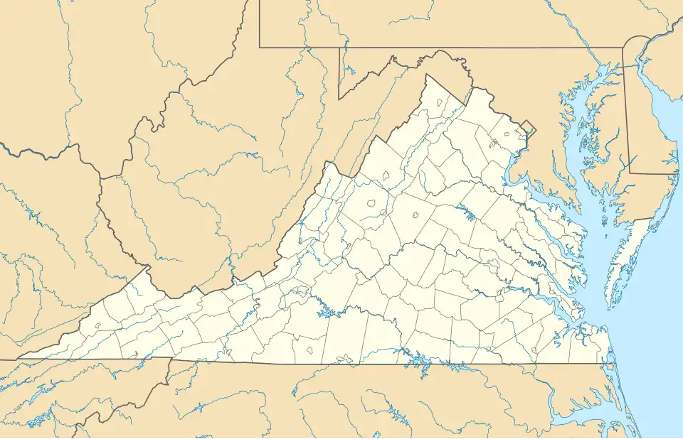
| Country | United States |
| State | Virginia |
| County | Orange |
| Elevation | 499 ft (152 m) |
| Time zone | UTC-5 (Eastern (EST)) |
| • Summer (DST) | UTC-4 (EDT) |
| ZIP code | 22542 |
| Area code | 540 |
| GNIS feature ID | 1499953[1] |
Rhoadesville is an unincorporated community and census-designated place in Orange County, Virginia, United States.[2] Rhoadesville is 10 miles (16 km) east-northeast of Orange. Rhoadesville has a post office with ZIP code 22542.[3]
Demographics
| Census | Pop. | Note | %± |
|---|
The United States Census Bureau designated Rhoadesville as a census designated place (CDP) in 2023.[4]
References
- ^ U.S. Geological Survey Geographic Names Information System: Rhoadesville, Virginia
- ^ "2023 U.S. Gazetteer Files". United States Census Bureau. 2023. Retrieved October 4, 2023.
- ^ ZIP Code Lookup
- ^ "2023 Geography Changes". United States Census Bureau.
Municipalities and communities of Orange County, Virginia, United States | ||
|---|---|---|
| Towns | 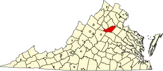 | |
| CDPs | ||
| Other communities |
| |
| Footnotes | ‡This populated place also has portions in an adjacent county or counties | |