Reinhardtsgrimma
Reinhardtsgrimma | |
|---|---|
 Coat of arms | |
Location of Reinhardtsgrimma | |
 Reinhardtsgrimma 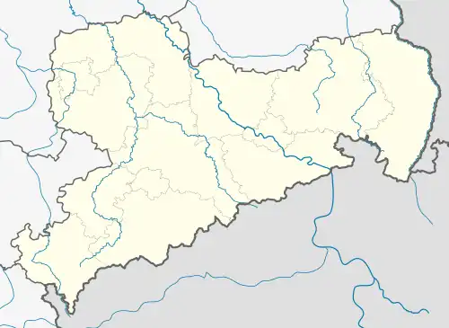 Reinhardtsgrimma | |
| Coordinates: 50°53′33″N 13°45′15″E / 50.89250°N 13.75417°E | |
| Country | Germany |
| State | Saxony |
| District | Sächsische Schweiz-Osterzgebirge |
| Town | Glashütte |
| Subdivisions | 7 |
| Area | |
• Total | 53.81 km2 (20.78 sq mi) |
| Elevation | 332 m (1,089 ft) |
| Population (2006-12-31) | |
• Total | 3,002 |
| • Density | 56/km2 (140/sq mi) |
| Time zone | UTC+01:00 (CET) |
| • Summer (DST) | UTC+02:00 (CEST) |
| Postal codes | 01768 |
| Dialling codes | 03504, 035053 |
| Vehicle registration | PIR |
| Website | www.reinhardtsgrimma.de |
Reinhardtsgrimma is a former municipality in the district of Weißeritzkreis in Saxony in Germany located near Dresden. On 2 January 2008, it merged into the town Glashütte. Its church features an organ by Gottfried Silbermann.
External links
Wikimedia Commons has media related to Reinhardtsgrimma.