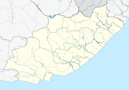
Redhouse, South Africa
Redhouse | |
|---|---|
 Redhouse 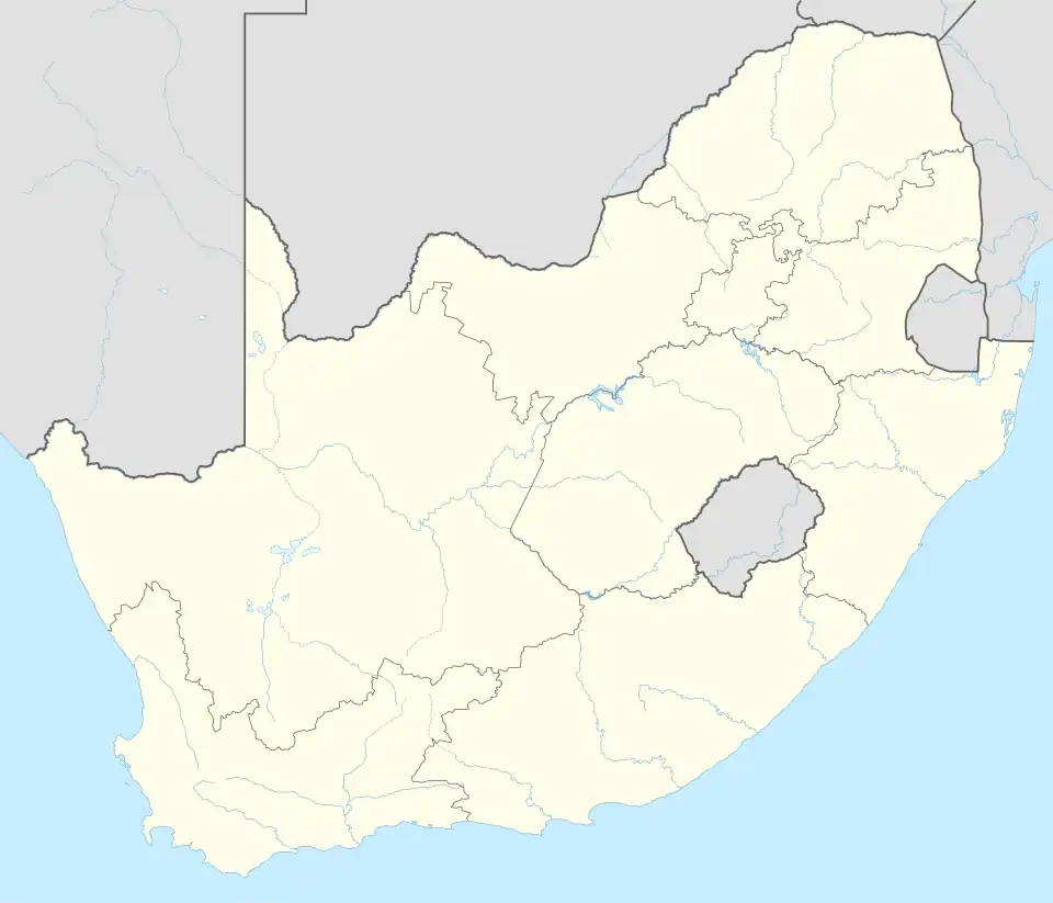 Redhouse | |
| Coordinates: 33°50′S 25°34′E / 33.833°S 25.567°E | |
| Country | South Africa |
| Province | Eastern Cape |
| Municipality | Nelson Mandela Bay |
| Main Place | Port Elizabeth |
| Area | |
• Total | 0.78 km2 (0.30 sq mi) |
| Population (2011)[1] | |
• Total | 375 |
| • Density | 480/km2 (1,200/sq mi) |
| Racial makeup (2011) | |
| • Black African | 16.5% |
| • Coloured | 2.1% |
| • Indian/Asian | 0.8% |
| • White | 78.9% |
| • Other | 1.6% |
| First languages (2011) | |
| • English | 67.9% |
| • Xhosa | 17.1% |
| • Afrikaans | 12.8% |
| • Southern Ndebele | 1.1% |
| • Other | 1.1% |
| Time zone | UTC+2 (SAST) |
| Postal code (street) | 6215 |
| PO box | 6215 |
Redhouse is a small village in the Eastern Cape of South Africa, located to the north of the city of Port Elizabeth. It is adjacent to a declared wetland reserve, soon hopefully to be a Ramsar site.
The village is situated on the Zwartkops River, and is host to the Redhouse Yacht Club. The village was built around the Redhouse train station which is a stopping point for passenger and goods trains coming from or going to the Port Elizabeth harbour. There are over 10,000 water birds here, in the summer, including beautiful flamingos aplenty.[2] There are no shops or businesses in Redhouse, apart from two bed and breakfast establishments, and this village is truly a hidden gem. There is a small primary school, a church, a lawn bowling club, a squash court, a sailing club, library, and quaint village hall. A superb riverside destination, to relax and find peace.
References
- ^ a b c d "Sub Place Redhouse". Census 2011.
- ^ "Redhouse, Port Elizabeth". www.sa-venues.com. Retrieved 16 June 2010.
Municipalities and communities of Nelson Mandela Bay Metropolitan Municipality, Eastern Cape | ||
|---|---|---|
District seat: Gqeberha (Port Elizabeth) | ||
| Cities and towns | .svg.png) | |