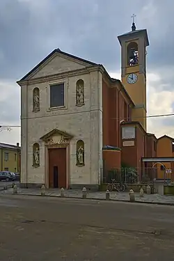
Rea, Lombardy
- See also Rhea (disambiguation) or REA
Rea | |
|---|---|
| Comune di Rea | |
Location of Rea | |
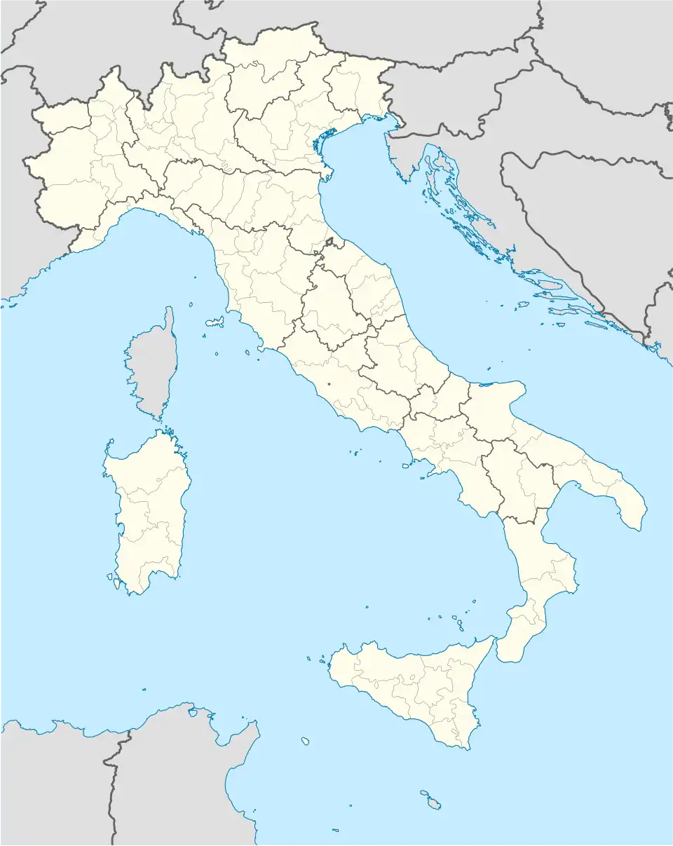 Rea Location of Rea in Italy 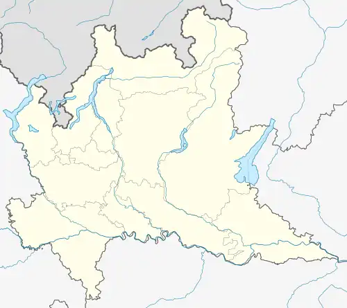 Rea Rea (Lombardy) | |
| Coordinates: 45°7′N 9°9′E / 45.117°N 9.150°E | |
| Country | Italy |
| Region | Lombardy |
| Province | Province of Pavia (PV) |
| Area | |
• Total | 3.0 km2 (1.2 sq mi) |
| Elevation | 63 m (207 ft) |
| Population (Dec. 2004)[2] | |
• Total | 462 |
| • Density | 150/km2 (400/sq mi) |
| Demonym | Reesi |
| Time zone | UTC+1 (CET) |
| • Summer (DST) | UTC+2 (CEST) |
| Postal code | 27040 |
| Dialing code | 0385 |
Rea is a comune (municipality) in the Province of Pavia in the Italian region Lombardy, located about 40 km south of Milan and about 7 km south of Pavia. As of 31 December 2004, it had a population of 462 and an area of 3.0 km².[3]
Rea borders the following municipalities: Bressana Bottarone, Cava Manara, Travacò Siccomario, Verrua Po.
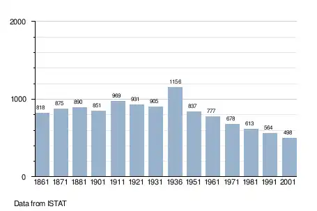
Demographic evolution
References
- ^ "Superficie di Comuni Province e Regioni italiane al 9 ottobre 2011". Italian National Institute of Statistics. Retrieved 16 March 2019.
- ^ "Popolazione Residente al 1° Gennaio 2018". Italian National Institute of Statistics. Retrieved 16 March 2019.
- ^ All demographics and other statistics: Italian statistical institute Istat.