Ravigny
Ravigny | |
|---|---|
 Coat of arms | |
Location of Ravigny | |
 Ravigny 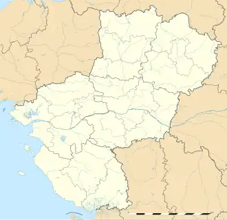 Ravigny | |
| Coordinates: 48°26′53″N 0°03′39″W / 48.4481°N 0.0608°W | |
| Country | France |
| Region | Pays de la Loire |
| Department | Mayenne |
| Arrondissement | Mayenne |
| Canton | Villaines-la-Juhel |
| Government | |
| • Mayor (2020–2026) | Guy Maignan[1] |
Area 1 | 6.54 km2 (2.53 sq mi) |
| Population (2022)[2] | 230 |
| • Density | 35/km2 (91/sq mi) |
| Time zone | UTC+01:00 (CET) |
| • Summer (DST) | UTC+02:00 (CEST) |
| INSEE/Postal code | 53187 /53370 |
| Elevation | 170–350 m (560–1,150 ft) (avg. 95 m or 312 ft) |
| 1 French Land Register data, which excludes lakes, ponds, glaciers > 1 km2 (0.386 sq mi or 247 acres) and river estuaries. | |
Ravigny (French pronunciation: [ʁaviɲi]) is a commune in the Mayenne department in north-western France.
Geography
The Commune along with another 11 communes shares part of a 5,255 hectare, Natura 2000 conservation area, called the Vallée du Sarthon et affluents.[3]
See also
References
- ^ "Répertoire national des élus: les maires". data.gouv.fr, Plateforme ouverte des données publiques françaises (in French). 2 December 2020.
- ^ "Populations de référence 2022" (in French). The National Institute of Statistics and Economic Studies. 19 December 2024.
- ^ "INPN - FSD Natura 2000 - FR2502015 - Vallée du Sarthon et affluents - Description".
Wikimedia Commons has media related to Ravigny.