Ramchandrapur, Purba Bardhaman
Ramchandrapur | |
|---|---|
Village | |
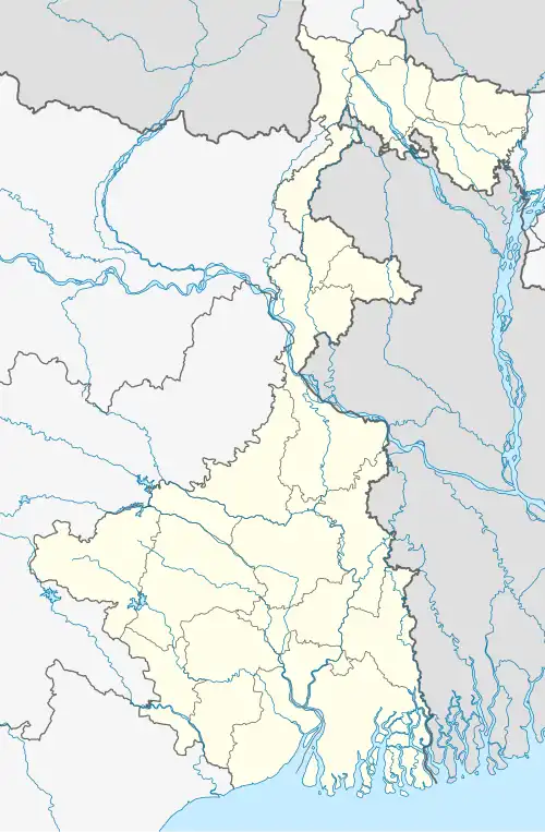 Ramchandrapur Location in West Bengal, India  Ramchandrapur Ramchandrapur (India) | |
| Coordinates: 23°15′10.4″N 88°00′07.0″E / 23.252889°N 88.001944°E | |
| Country | |
| State | West Bengal |
| District | Purba Bardhaman |
| • Rank | 3,221 |
| Languages | |
| • Official | Bengali, English |
| Time zone | UTC+5:30 (IST) |
| PIN | 713125 |
| Telephone/STD code | 0342 |
| Lok Sabha constituency | Bardhaman-Durgapur |
| Vidhan Sabha constituency | Bhatar |
| Website | purbabardhaman |
Ramchandrapur is a village in Bhatar, a CD block in Bardhaman Sadar North subdivision of Purba Bardhaman district in the state of West Bengal, India.
Demographics
The village has an area of 451.89 hectares (1,116.6 acres) and a population of 3,221 in about 762 houses.[1] Ratanpur, the nearest village, is approximately 2 km away.[2][3][4]
| Particulars | Total | Male | Female |
|---|---|---|---|
| Total no. of houses | 762 | - | - |
| Population | 3,221 | 1,604 | 1,617 |
| Child (0–6) | 304 | 161 | 143 |
| Schedule Caste | 1,609 | 797 | 812 |
| Schedule Tribe | 41 | 19 | 22 |
References
- ^ http://censusindia.gov.in/pca/pcadata/DDW_PCA1909_2011_MDDS%20with%20UI.xlsx 2011 census] censusindia.gov.in
- ^ "2011 Census – Primary Census Abstract Data Tables". West Bengal – District-wise. Registrar General and Census Commissioner, India. Retrieved 26 February 2017.
- ^ "District Statistical Handbook 2014 Bardhaman". Table 2.2. Department of Statistics and Programme Implementation, Government of West Bengal. Archived from the original on 21 January 2019. Retrieved 25 January 2019.
- ^ "District Census Handbook Barddhaman, Series 20 Part XII A, Census of India 2011" (PDF). Page 637: Map of Bhatar CD Block. Directorate of Census Operations 2011. Retrieved 21 January 2019.
External links
Cities, towns and locations in Purba Bardhaman district, Burdwan division | ||||||||||
|---|---|---|---|---|---|---|---|---|---|---|
| Cities, municipal and census towns |
|  | ||||||||
| Locations other than cities and towns |
| |||||||||
| Related topics |
| |||||||||