Radnovce
Radnovce
Nemesradnót | |
|---|---|
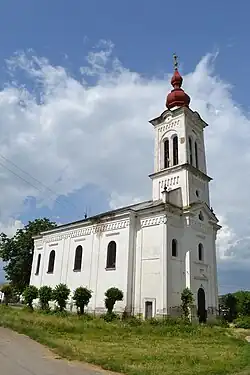 Calvinist church | |
 Flag | |
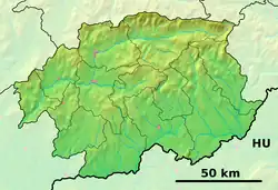 Radnovce Location of Radnovce in the Banská Bystrica Region 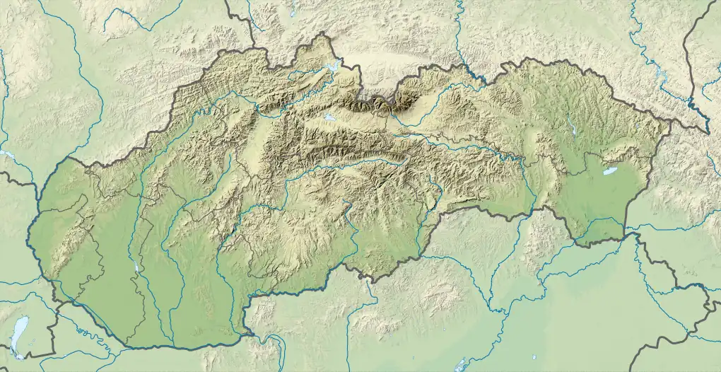 Radnovce Location of Radnovce in Slovakia | |
| Coordinates: 48°21′N 20°13′E / 48.35°N 20.22°E | |
| Country | |
| Region | |
| District | Rimavská Sobota District |
| First mentioned | 1332 |
| Area | |
• Total | 8.32 km2 (3.21 sq mi) |
| Elevation | 173 m (568 ft) |
| Population (2021)[3] | |
• Total | 1,031 |
| Time zone | UTC+1 (CET) |
| • Summer (DST) | UTC+2 (CEST) |
| Postal code | 980 42[2] |
| Area code | +421 47[2] |
| Car plate | RS |
| Website | radnovce |
Radnovce (Hungarian: Nemesradnót) is a village and municipality in the Rimavská Sobota District of the Banská Bystrica Region of southern Slovakia. According to 2021 census, only 2.5% of inhabitants belong to the Slovak ethnic group, outnumbered by Hungarians (60.7%) and Romani (33.8%).[4]
References
- ^ "Hustota obyvateľstva - obce [om7014rr_ukaz: Rozloha (Štvorcový meter)]". www.statistics.sk (in Slovak). Statistical Office of the Slovak Republic. 2022-03-31. Retrieved 2022-03-31.
- ^ a b c "Základná charakteristika". www.statistics.sk (in Slovak). Statistical Office of the Slovak Republic. 2015-04-17. Retrieved 2022-03-31.
- ^ "Počet obyvateľov podľa pohlavia - obce (ročne)". www.statistics.sk (in Slovak). Statistical Office of the Slovak Republic. 2022-03-31. Retrieved 2022-03-31.
- ^ "Slovakia 2021 census: Radnovce ethnic groups". www.scitanie.sk. Feb 2022. Retrieved 2022-02-22.
External links
- http://www.statistics.sk/mosmis/eng/run.html Archived 2007-11-16 at the Wayback Machine