Rácalmás
Rácalmás | |
|---|---|
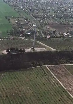 Aerial view | |
 Flag  Coat of arms | |
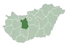
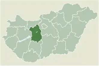 Location of Fejér county in Hungary | |
 Rácalmás Location of Rácalmás | |
| Coordinates: 47°01′31″N 18°56′25″E / 47.02526°N 18.94037°E | |
| Country | |
| County | Fejér |
| District | Dunaújváros |
| Government | |
| • Mayor | István Schrick [1] |
| Area | |
• Total | 40.65 km2 (15.70 sq mi) |
| Population (2010) | |
• Total | 4,470 |
| • Density | 106.93/km2 (276.9/sq mi) |
| Demonym | rácalmási |
| Time zone | UTC+1 (CET) |
| • Summer (DST) | UTC+2 (CEST) |
| Postal code | 2459 |
| Area code | (+36) 25 |
| Website | racalmas |
Rácalmás (Hungarian pronunciation: [ˈraːt͡sɒlmaːʃ]) is a town in Central Transdanubia, in Fejér county, Hungary. Located on the right side of river Danube around 61 km south of Budapest.
The Name Rácalmás is derived from a Serbian ("Rác" - from medieval "Raška") apple picker. There is also on a Grassed area alongside of a Lake in the Town, A white Tree Called, the Holmar Apple Tree.
Twin towns – sister cities
 Dransfeld, Germany
References
- ^ valasztas.hu
- ^ "Testvértelepülés". racalmas.hu (in Hungarian). Rácalmás. Retrieved 2021-04-29.
External links
Wikimedia Commons has media related to Rácalmás.
- Official website in Hungarian
- Related link collection (in Hungarian)
- Street map Archived 2011-05-16 at the Wayback Machine (in Hungarian)
| City with county rights (1) |
| |
|---|---|---|
| Towns (3) | ||
| Large villages (3) | ||
| Villages (9) | ||
| Cities with county rights |
|   |
|---|---|---|
| Towns | ||
| Large villages | ||
| Villages |
| |
| Other topics |
| |