Rábatamási
Rábatamási | |
|---|---|
 Flag  Coat of arms | |
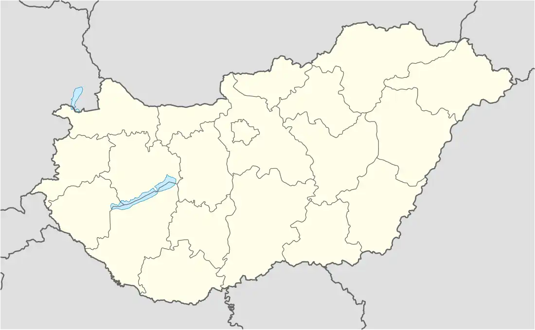 Rábatamási Location of Rábatmaási | |
| Coordinates: 47°35′00″N 17°10′00″E / 47.583300°N 17.166700°E | |
| Country | |
| County | Győr-Moson-Sopron |
| Government | |
| • Mayor | Kovács Attila (Ind.) |
| Area | |
• Total | 21.77 km2 (8.41 sq mi) |
| Population (2022)[3] | |
• Total | 974 |
| • Density | 45/km2 (120/sq mi) |
| Time zone | UTC+1 (CET) |
| • Summer (DST) | UTC+2 (CEST) |
| Postal code | 9322 |
| Area code | 96 |
| Motorways | M85 |
| Distance from Budapest | 166 km (103 mi) East |
Rábatamási is a village in Győr-Moson-Sopron County, Hungary.
References
- ^ "Nemzeti Választási Iroda - Helyi önkormányzati választások". vtr.valasztas.hu (in Hungarian). Retrieved 16 September 2024.
- ^ "Detailed Gazetteer of Hungary". www.ksh.hu. Retrieved 16 September 2024.
- ^ "Census 2022". Census 2022. Retrieved 16 September 2024.