Quinlan, Oklahoma
Quinlan, Oklahoma | |
|---|---|
 Quinlan, Oklahoma  Quinlan, Oklahoma | |
| Coordinates: 36°27′22″N 99°02′45″W / 36.45611°N 99.04583°W | |
| Country | United States |
| State | Oklahoma |
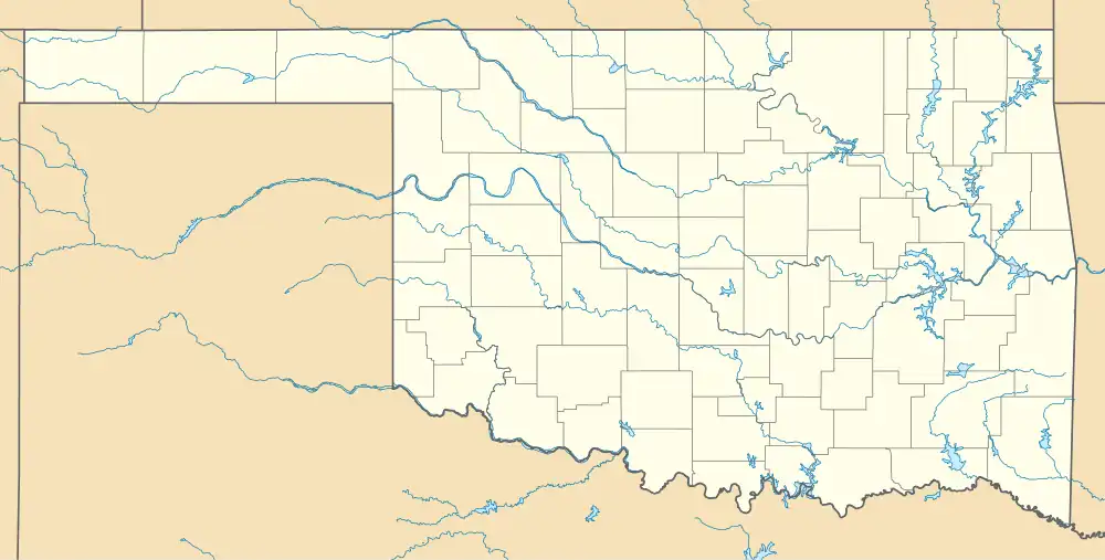
| County | Woodward |
| Area | |
• Total | 0.28 sq mi (0.72 km2) |
| • Land | 0.28 sq mi (0.72 km2) |
| • Water | 0.00 sq mi (0.00 km2) |
| Elevation | 1,736 ft (529 m) |
| Population (2020) | |
• Total | 28 |
| • Density | 101.08/sq mi (38.99/km2) |
| Time zone | UTC-6 (Central (CST)) |
| • Summer (DST) | UTC-5 (CDT) |
| Area code | 580 |
| GNIS feature ID | 2805350[2] |
Quinlan is an unincorporated community in Woodward County, Oklahoma, United States.[2] It is located on what was the Atchison, Topeka and Santa Fe Railroad, 9 miles (14 km) east of Mooreland. Quinlan began as a small agricultural community,[3] and is old enough to appear on a 1911 Rand McNally map of the county.[4]
Demographics
| Census | Pop. | Note | %± |
|---|---|---|---|
| 2020 | 28 | — | |
| U.S. Decennial Census[5] | |||
References
- ^ "ArcGIS REST Services Directory". United States Census Bureau. Retrieved September 20, 2022.
- ^ a b c U.S. Geological Survey Geographic Names Information System: Quinlan, Oklahoma
- ^ Everett, Dianna. "QUINLAN". Oklahoma Historical Society. Retrieved March 2, 2024.
- ^ "Woodward County, Oklahoma 1911 Map". Rand McNally (accessed on MyGenealogyHound website). Retrieved March 7, 2025.
- ^ "Census of Population and Housing". Census.gov. Retrieved June 4, 2016.
Municipalities and communities of Woodward County, Oklahoma, United States | ||
|---|---|---|
| City | 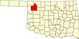 | |
| Towns | ||
| CDP | ||
| Other community | ||