Preston, California
Preston, California | |
|---|---|
 Preston, California  Preston, California | |
| Coordinates: 38°50′07″N 123°01′03″W / 38.83528°N 123.01750°W | |
| Country | United States |
| State | California |
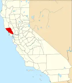
| County | Sonoma |
| Elevation | 341 ft (104 m) |
| Time zone | UTC-8 (Pacific (PST)) |
| • Summer (DST) | UTC-7 (PDT) |
| Area code | 707 |
| GNIS feature ID | 1656233[1] |
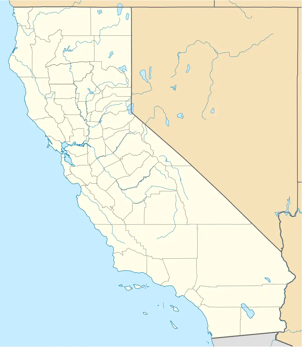
Preston is an unincorporated community in Sonoma County, California, United States. The community is on U.S. Route 101 2 miles (3.2 km) north of Cloverdale.[2]
History
Preston derives its name from Madame Emily Preston (née Burke), a faith healer who established a religious colony and health resort at her husband's ranch in 1875. Revenue from Preston's ministry and the settlement of followers in the area led to the construction of a church, railroad depot, post office, and a commercial district on both sides of the Russian River.[3] The community began a slow decline after Preston's death in 1909, continuing to hold services into the 1940s.[3]
Most of the buildings associated with the Preston community were destroyed in a wildfire in 1988.[3]
References
- ^ "Preston". Geographic Names Information System. United States Geological Survey, United States Department of the Interior.
- ^ California Department of Transportation (2005). State Highway Map 2005 (Map). Retrieved June 5, 2019 – via David Rumsey Historical Map Collection.
- ^ a b c Hoods, Holly L. (2000). Preston: History of a Late 19th-Century Religious Colony in Sonoma County, California (PDF) (MA thesis). Rohnert Park, CA: Sonoma State University.