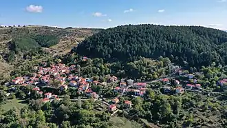
Polyneri, Grevena
Polyneri
Πολυνέρι | |
|---|---|
 | |
 Polyneri | |
| Coordinates: 40°2.9′N 21°12.2′E / 40.0483°N 21.2033°E | |
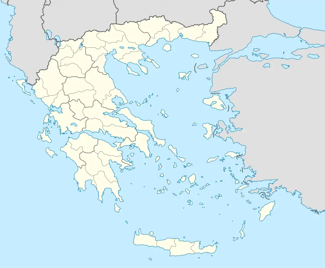
| Country | Greece |
| Administrative region | Western Macedonia |
| Regional unit | Grevena |
| Municipality | Grevena |
| Municipal unit | Theodoros Ziakas |
| Area | |
• Community | 10.321 km2 (3.985 sq mi) |
| Elevation | 950 m (3,120 ft) |
| Population (2021)[1] | |
• Community | 58 |
| • Density | 5.6/km2 (15/sq mi) |
| Time zone | UTC+2 (EET) |
| • Summer (DST) | UTC+3 (EEST) |
| Postal code | 510 32 |
| Area code(s) | +30-2462 |
| Vehicle registration | PN |
Polyneri (Greek: Πολυνέρι, before 1927: Βοδεντσικό – Vodentsiko)[2] is a village and a community of the Grevena municipality. Before the 2011 local government reform it was a part of the municipality of Theodoros Ziakas, of which it was a municipal district.[3] The 2021 census recorded 58 residents in the village.[1] The community of Polyneri covers an area of 10.321 km2.[4]
See also
References
- ^ a b "Αποτελέσματα Απογραφής Πληθυσμού - Κατοικιών 2021, Μόνιμος Πληθυσμός κατά οικισμό" [Results of the 2021 Population - Housing Census, Permanent population by settlement] (in Greek). Hellenic Statistical Authority. 29 March 2024.
- ^ Institute for Neohellenic Research. "Name Changes of Settlements in Greece: Vodentsiko – Polyneri". Pandektis. Retrieved 23 August 2024.
- ^ "ΦΕΚ B 1292/2010, Kallikratis reform municipalities" (in Greek). Government Gazette.
- ^ "Population & housing census 2001 (incl. area and average elevation)" (PDF) (in Greek). National Statistical Service of Greece.