Piz Lavirun
| Piz Lavirun | |
|---|---|
| Pizzo Leverone | |
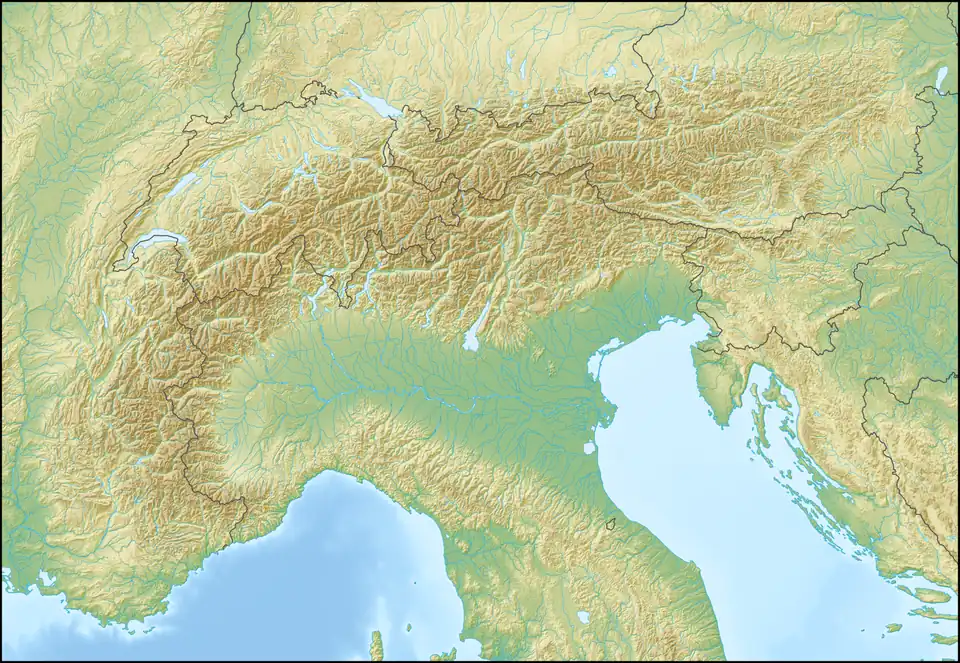 Piz Lavirun Location in the Alps | |
| Highest point | |
| Elevation | 3,058 m (10,033 ft)[1] |
| Prominence | 216 m (709 ft)[2] |
| Parent peak | Munt Cotschen |
| Coordinates | 46°31′41.9″N 10°03′02.5″E / 46.528306°N 10.050694°E |
| Geography | |
| Location | Graubünden, Switzerland Lombardy, Italy |
| Parent range | Livigno Range |
Piz Lavirun (also known as Pizzo Leverone) is a mountain in the Livigno Range of the Alps, located on the border between Italy and Switzerland. It lies between the Val Lavirun (Graubünden) and the Valle di Federia (Lombardy).
References
- ^ "Piz Lavirun". jo-albis.ch. Archived from the original on 2011-07-06. Retrieved 2010-06-18.
- ^ Retrieved from the Swisstopo topographic maps. The key col is located south of the summit at 2,842 metres.
External links