Pittsburg, Kentucky
Pittsburg, Kentucky | |
|---|---|
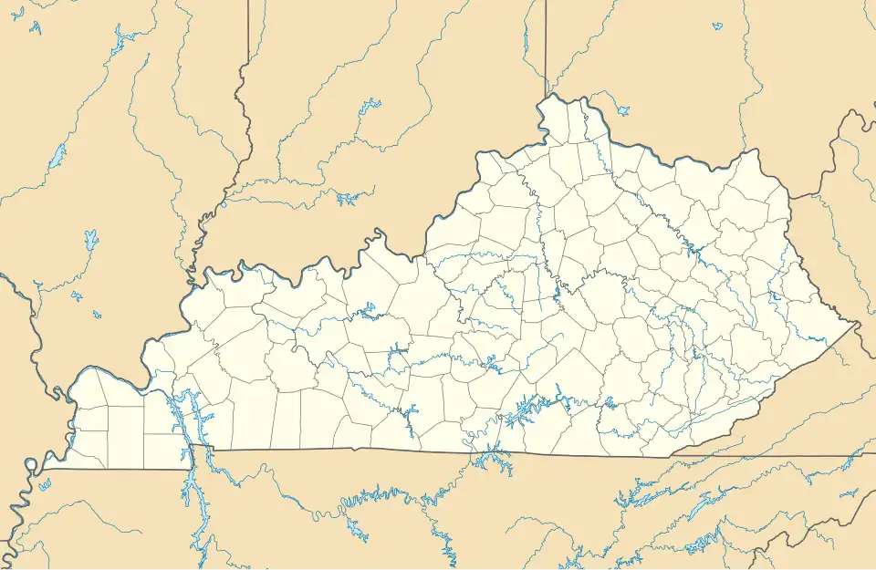 Pittsburg Location in Kentucky  Pittsburg Location in the United States | |
| Coordinates: 37°9′36″N 84°6′15″W / 37.16000°N 84.10417°W | |
| Country | United States |
| State | Kentucky |
| County | Laurel |
| Elevation | 1,145 ft (349 m) |
| Time zone | UTC-6 (Eastern (EST)) |
| • Summer (DST) | UTC-5 (EST) |
| ZIP codes | 40755 |
| GNIS feature ID | 514634[1] |
Pittsburg is an unincorporated community and coal town in Laurel County, Kentucky. It was named for the industrial heritage of Pittsburgh, Pennsylvania. Their post office has been open since 1882.[2]
History
On November 14, 2007, an EF0 tornado struck Pittsburg, traveling northwest from Bernstadt.[3]
Geography
Pittsburg is on Kentucky Route 6260, with a terminus at Hal Rogers Parkway near London. (see List of state highways in Kentucky (6000–6999))
References
- ^ U.S. Geological Survey Geographic Names Information System: Pittsburg, Kentucky
- ^ http://webpmt.usps.gov/pmt007.cfm
- ^ National Weather Service in Jackson, Kentucky (2023). Kentucky Event Report: EF0 Tornado (Report). National Centers for Environmental Information. Retrieved December 21, 2023.
Municipalities and communities of Laurel County, Kentucky, United States | ||
|---|---|---|
| City | 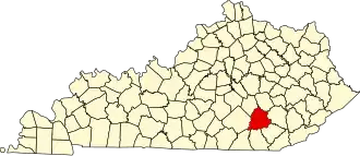 | |
| CDPs | ||
| Unincorporated communities | ||
| Footnotes | ‡This populated place also has portions in an adjacent county | |