Pirching am Traubenberg
Pirching am Traubenberg | |
|---|---|
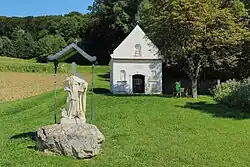 Chapel and statue in Pirching | |
 Coat of arms | |
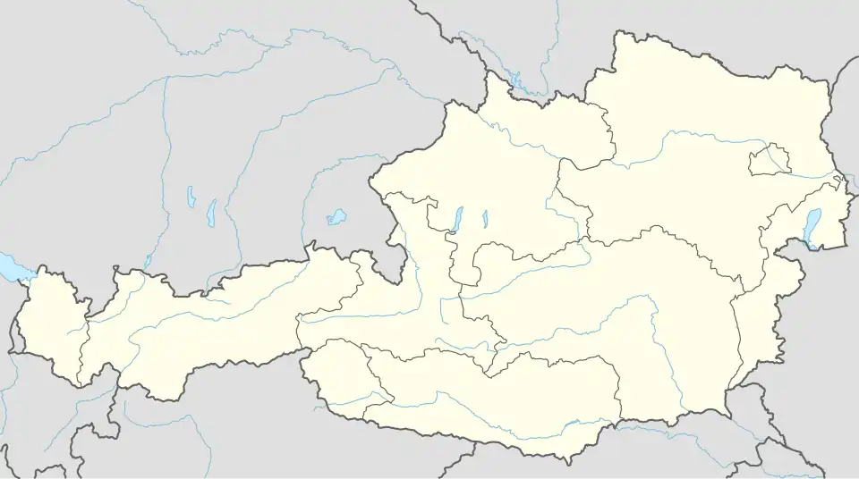 Pirching am Traubenberg Location within Austria | |
| Coordinates: 46°57′00″N 15°36′00″E / 46.95000°N 15.60000°E | |
| Country | Austria |
| State | Styria |
| District | Südoststeiermark |
| Government | |
| • Mayor | Franz Matzer (ÖVP) |
| Area | |
• Total | 31.5 km2 (12.2 sq mi) |
| Elevation | 350 m (1,150 ft) |
| Population (2018-01-01)[2] | |
• Total | 2,567 |
| • Density | 81/km2 (210/sq mi) |
| Time zone | UTC+1 (CET) |
| • Summer (DST) | UTC+2 (CEST) |
| Postal code | 8081 |
| Area code | +43 3134 |
| Vehicle registration | FB |
| Website | www.pirching-traubenberg.gv.at |
Pirching am Traubenberg is a municipality in the district of Südoststeiermark in the Austrian state of Styria.
Population
| Year | Pop. | ±% |
|---|---|---|
| 1869 | 1,221 | — |
| 1880 | 1,242 | +1.7% |
| 1890 | 1,200 | −3.4% |
| 1900 | 1,158 | −3.5% |
| 1910 | 1,161 | +0.3% |
| 1923 | 1,157 | −0.3% |
| 1934 | 1,168 | +1.0% |
| 1939 | 1,093 | −6.4% |
| 1951 | 1,099 | +0.5% |
| 1961 | 1,079 | −1.8% |
| 1971 | 1,120 | +3.8% |
| 1981 | 1,188 | +6.1% |
| 1991 | 1,282 | +7.9% |
| 2001 | 1,440 | +12.3% |
| 2013 | 1,610 | +11.8% |
References
- ^ "Dauersiedlungsraum der Gemeinden Politischen Bezirke und Bundesländer - Gebietsstand 1.1.2018". Statistics Austria. Retrieved 10 March 2019.
- ^ "Einwohnerzahl 1.1.2018 nach Gemeinden mit Status, Gebietsstand 1.1.2018". Statistics Austria. Retrieved 9 March 2019.