Pill, Tyrol
Pill | |
|---|---|
 Church of Saint Anne | |
 Coat of arms | |
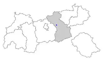 Location within Tyrol | |
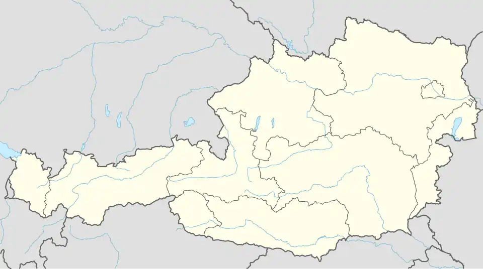 Pill Location within Austria | |
| Coordinates: 47°19′15″N 11°40′57″E / 47.32083°N 11.68250°E | |
| Country | Austria |
| State | Tyrol |
| District | Schwaz |
| Government | |
| • Mayor | Hannes Fender |
| Area | |
• Total | 20.93 km2 (8.08 sq mi) |
| Elevation | 556 m (1,824 ft) |
| Population (2018-01-01)[2] | |
• Total | 1,174 |
| • Density | 56/km2 (150/sq mi) |
| Time zone | UTC+1 (CET) |
| • Summer (DST) | UTC+2 (CEST) |
| Postal code | 6130 |
| Area code | 05242 |
| Vehicle registration | SZ |
| Website | www.pill.tirol.gv.at |
Pill is a municipality in the Schwaz district in the Austrian state of Tyrol. The 2024 Tour of the Alps passed through Pill on the 16th of April. [3]
Geography
Pill lies in the Lower Inn Valley near Schwaz.
References
- ^ "Dauersiedlungsraum der Gemeinden Politischen Bezirke und Bundesländer - Gebietsstand 1.1.2018". Statistics Austria. Retrieved 10 March 2019.
- ^ "Einwohnerzahl 1.1.2018 nach Gemeinden mit Status, Gebietsstand 1.1.2018". Statistics Austria. Retrieved 9 March 2019.
- ^ "Discovery+".
Wikimedia Commons has media related to Pill, Tyrol.