Paupack, Pennsylvania
Paupack, Pennsylvania | |
|---|---|
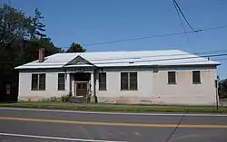 Paupack School | |
 Paupack | |
| Coordinates: 41°23′46″N 75°11′47″W / 41.39611°N 75.19639°W | |
| Country | United States |
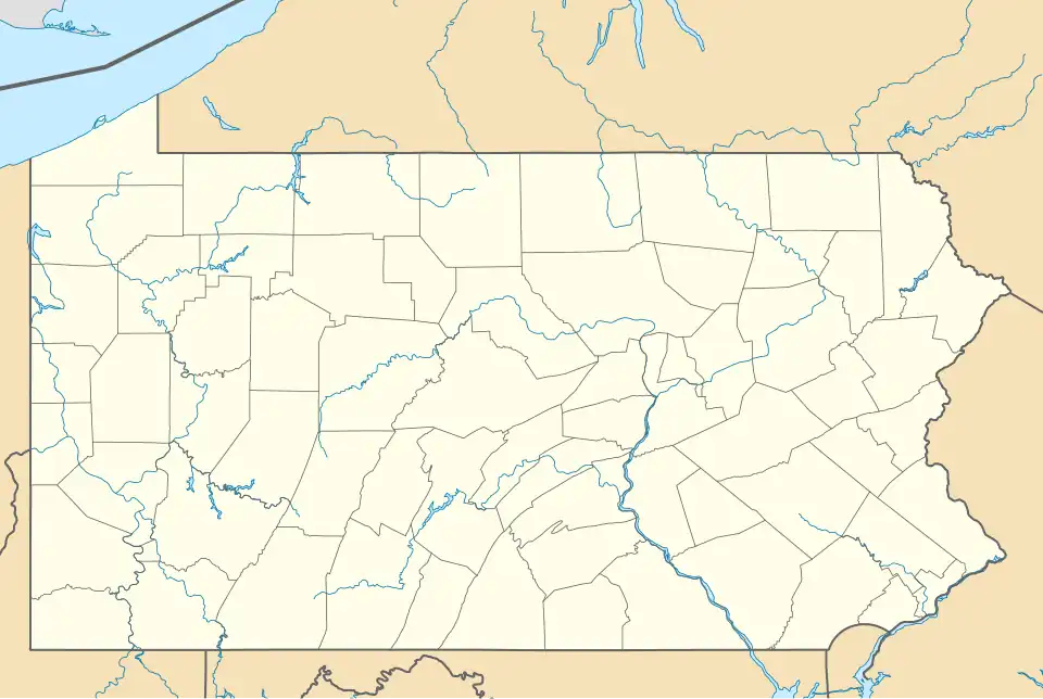
| State | Pennsylvania |
| County | Pike |
| Elevation | 1,565 ft (477 m) |
| Time zone | UTC-5 (Eastern (EST)) |
| • Summer (DST) | UTC-4 (EDT) |
| ZIP code | 18451 |
| Area codes | 272 & 570 |
| GNIS feature ID | 1199282[1] |
Paupack is an unincorporated community in Pike County, Pennsylvania, United States.[1] The community is 5.5 miles (8.9 km) south of Hawley. Paupack has a post office with ZIP code 18451, which opened on October 19, 1900.[2][3] The community derives its name from Wallenpaupack Creek.[4] The area was originally served by Paupack Consolidated School, which dates back to 1925 and is on the National Register of Historic Places.[5]
References
- ^ a b "Paupack". Geographic Names Information System. United States Geological Survey, United States Department of the Interior.
- ^ United States Postal Service. "USPS - Look Up a ZIP Code". Retrieved August 13, 2017.
- ^ "Postmaster Finder - Post Offices by ZIP Code". United States Postal Service. Retrieved August 13, 2017.
- ^ Espenshade, Abraham Howry (1925). Pennsylvania Place Names. Evangelical Press. p. 286. ISBN 978-0-8063-0416-8.
{{cite book}}: ISBN / Date incompatibility (help) - ^ "NPGallery Digital Asset Management System". NPGallery Digital Asset Management System.
Municipalities and communities of Pike County, Pennsylvania, United States | ||
|---|---|---|
| Boroughs | 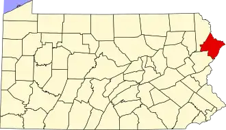 | |
| Townships | ||
| CDPs |
| |
| Unincorporated communities | ||
| Footnotes | ‡This populated place also has portions in an adjacent county or counties. | |