Paup, Arkansas
Paup, Arkansas | |
|---|---|
 Paup  Paup | |
| Coordinates: 33°30′07″N 93°56′34″W / 33.50194°N 93.94278°W | |
| Country | United States |
| State | Arkansas |
| County | Miller |
| Elevation | 259 ft (79 m) |
| Time zone | UTC-6 (Central (CST)) |
| • Summer (DST) | UTC-5 (CDT) |
| Area code | 870 |
| GNIS feature ID | 57154[1] |
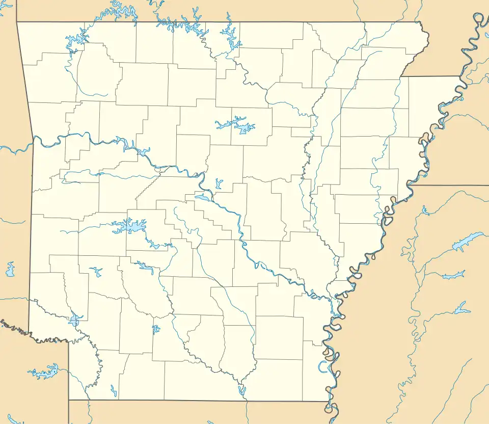
Paup is an unincorporated community in Miller County, Arkansas, United States. Paup is located on U.S. Route 67, 7.8 miles (12.6 km) northeast of Texarkana.[2]
References
- ^ "Paup". Geographic Names Information System. United States Geological Survey, United States Department of the Interior.
- ^ Miller County, Arkansas General Highway Map (PDF) (Map). Arkansas State Highway and Transportation Department. 2010. Archived from the original (PDF) on April 23, 2012. Retrieved June 13, 2012.
Municipalities and communities of Miller County, Arkansas, United States | ||
|---|---|---|
| Cities | 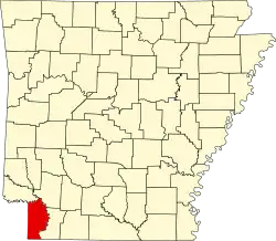 | |
| Town | ||
| CDP | ||
| Other unincorporated communities | ||