Paturau River
| Paturau River | |
|---|---|
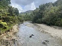 Paturau River as seen from the abandoned bridge | |
Route of the Paturau River | |
.png) Mouth of the Paturau River 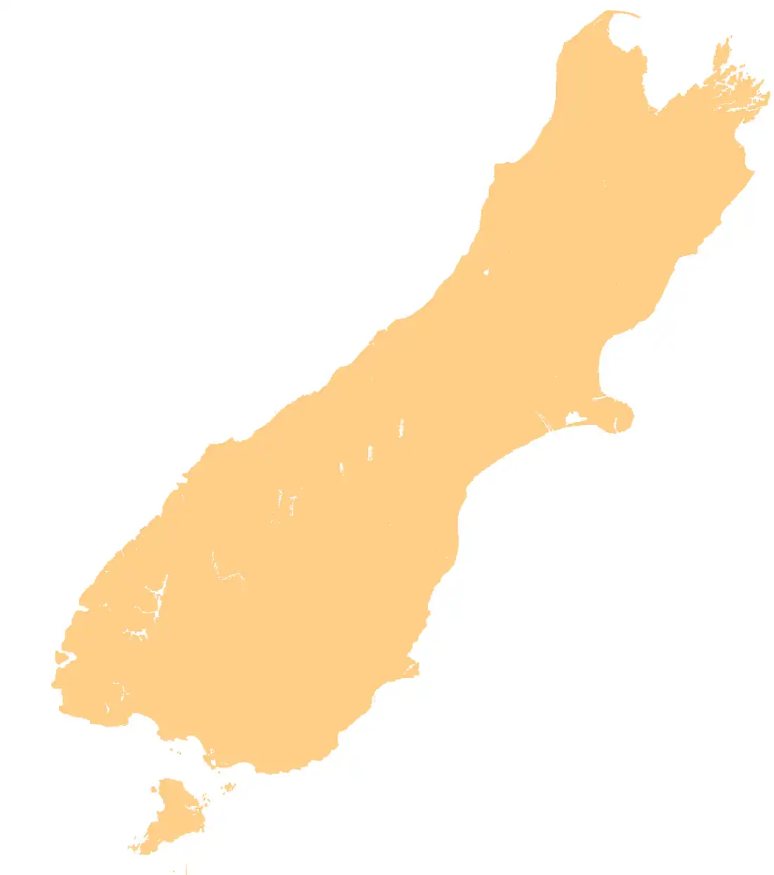 Paturau River (South Island) | |
| Location | |
| Country | New Zealand |
| Physical characteristics | |
| Source | |
| • location | Wakamarama Range |
| • coordinates | 40°40′19″S 172°33′13″E / 40.6720°S 172.5537°E |
| Mouth | |
• location | Tasman Sea |
• coordinates | 40°42′06″S 172°37′00″E / 40.70155°S 172.61657°E |
• elevation | 0 metres (0 ft) |
| Length | 29 kilometres (18 mi)[1] |
| Basin features | |
| Progression | Paturau River → Tasman Sea |
| Tributaries | |
| • left | Long Creek |
| • right | Simmiss Creek, Higgins Branch, Toe Rag Creek, Rocky Creek, Thompson Creek, Camp Creek |
The Paturau River (sometimes spelt Patarau) is a river of the Tasman Region of New Zealand's South Island.[2] One of the northernmost rivers in the South Island, it flows predominantly north from its sources in the Wakamarama Range to reach the Tasman Sea 20 kilometres west of Collingwood.[3]
See also
References
- ^ Egarr, G. D.; Egarr, J. H. (1981). New Zealand Recreational River Survey Part III South Island Rivers (PDF) (Report). Water & Soil Division, Ministry of Works and Development. p. 7. ISSN 0110-4705.
- ^ "Place name detail: Paturau River". New Zealand Gazetteer. Land Information New Zealand. Retrieved 12 July 2009.
- ^ New Zealand 1:50000 Topographic Map Series sheet BN23 – Paturau River