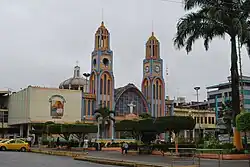
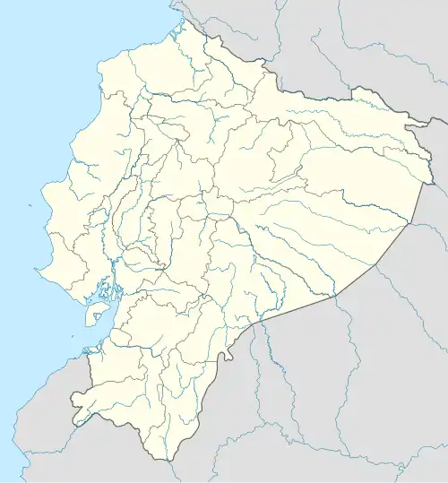
Pasaje
Pasaje | |
|---|---|
Town | |
 | |
 Pasaje | |
| Coordinates: 3°19′37″S 79°48′18″W / 3.3269°S 79.8049°W | |
| Country | |
| Province | El Oro |
| Canton | Pasaje Canton |
| Area | |
• Town | 19.46 km2 (7.51 sq mi) |
| Population (2022 census)[1] | |
• Town | 60,147 |
| • Density | 3,100/km2 (8,000/sq mi) |
Pasaje is a town in the lowlands of the El Oro Province, Ecuador. Pasaje is the seat of the Pasaje Canton. It is located on the border of the Jubones River.
Climate
| Climate data for Pasaje, elevation 15 m (49 ft), (1971–2000) | |||||||||||||
|---|---|---|---|---|---|---|---|---|---|---|---|---|---|
| Month | Jan | Feb | Mar | Apr | May | Jun | Jul | Aug | Sep | Oct | Nov | Dec | Year |
| Mean daily maximum °C (°F) | 30.3 (86.5) |
30.8 (87.4) |
31.3 (88.3) |
31.8 (89.2) |
30.0 (86.0) |
28.1 (82.6) |
26.7 (80.1) |
26.5 (79.7) |
26.6 (79.9) |
26.2 (79.2) |
26.9 (80.4) |
29.1 (84.4) |
28.7 (83.6) |
| Mean daily minimum °C (°F) | 21.5 (70.7) |
22.0 (71.6) |
22.0 (71.6) |
22.0 (71.6) |
21.6 (70.9) |
20.7 (69.3) |
20.0 (68.0) |
19.7 (67.5) |
19.7 (67.5) |
20.0 (68.0) |
19.9 (67.8) |
20.9 (69.6) |
20.8 (69.5) |
| Average precipitation mm (inches) | 102.0 (4.02) |
143.0 (5.63) |
132.0 (5.20) |
96.0 (3.78) |
46.0 (1.81) |
38.0 (1.50) |
26.0 (1.02) |
24.0 (0.94) |
30.0 (1.18) |
36.0 (1.42) |
28.0 (1.10) |
44.0 (1.73) |
745 (29.33) |
| Average relative humidity (%) | 80 | 80 | 80 | 79 | 82 | 84 | 85 | 85 | 86 | 87 | 85 | 80 | 83 |
| Source: FAO[2] | |||||||||||||
References
- ^ Citypopulation.de Population and area of Pasaje
- ^ "CLIMWAT climatic database". Food and Agriculture Organization of United Nations. Retrieved 20 June 2024.
External links
- mipasaje.com Website with local information in Spanish