Paralia Platanou
Paralia Platanou
Παραλία Πλατάνου | |
|---|---|
 Paralia Platanou | |
| Coordinates: 38°10′16″N 22°16′23″E / 38.171°N 22.273°E | |
| Country | Greece |
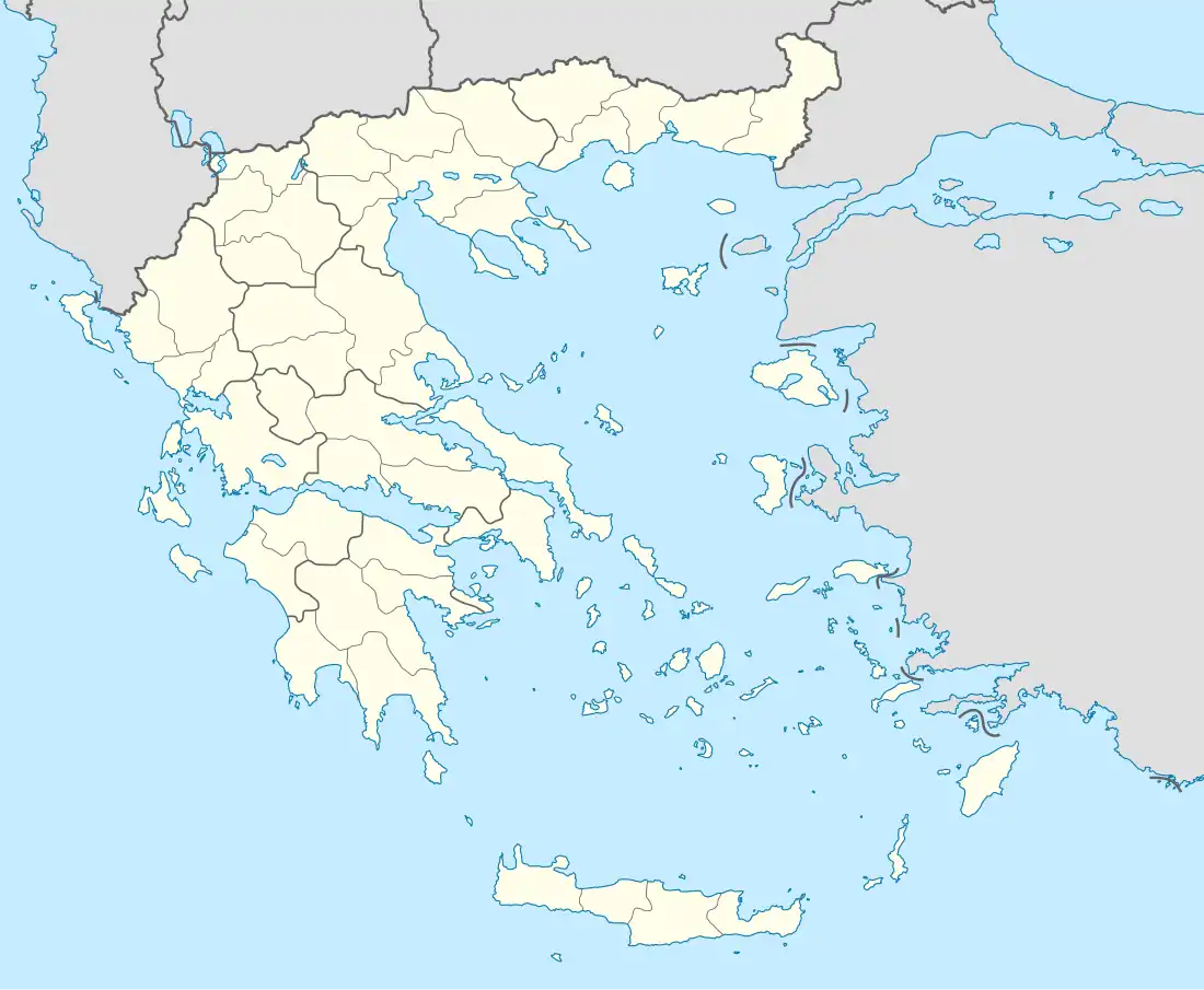
| Administrative region | West Greece |
| Regional unit | Achaea |
| Municipality | Aigialeia |
| Municipal unit | Akrata |
| Elevation | 10 m (30 ft) |
| Population (2021)[1] | |
• Community | 216 |
| Time zone | UTC+2 (EET) |
| • Summer (DST) | UTC+3 (EEST) |
Paralia Platanou (Greek: Παραλία Πλατάνου, English: "Platanos beach"), is a village and a community of the municipality Aigialeia, southwestern Greece.[2] It is situated on the seashore of the Gulf of Corinth below Platanos village. The entrance to the village is found a short distance beyond Kryoneri Bay, on the 155th km (97th mile) of the Old National Corinth-Patras Road at a designated exit. It is served by Platanos railway station on the line from Kiato to Aigio.
Noted beaches are Avgolemono (153rd km/98th mile), Liontari (160th km/100th mile), and the neighbouring Punta Beach, below Trapeza village.
Platanos is famous for its natural Artesian spring water, and for Λιοντάρι (Liontari, i.e. a natural, house-sized rocky formation in the shape of a lion at the western end of the village on the edge of a mountain slope.
References
- ^ "Αποτελέσματα Απογραφής Πληθυσμού - Κατοικιών 2021, Μόνιμος Πληθυσμός κατά οικισμό" [Results of the 2021 Population - Housing Census, Permanent population by settlement] (in Greek). Hellenic Statistical Authority. 29 March 2024.
- ^ Παραλία Πλατάνου (Αχαΐας), EETAA local government changes