Panther, West Virginia
Panther | |
|---|---|
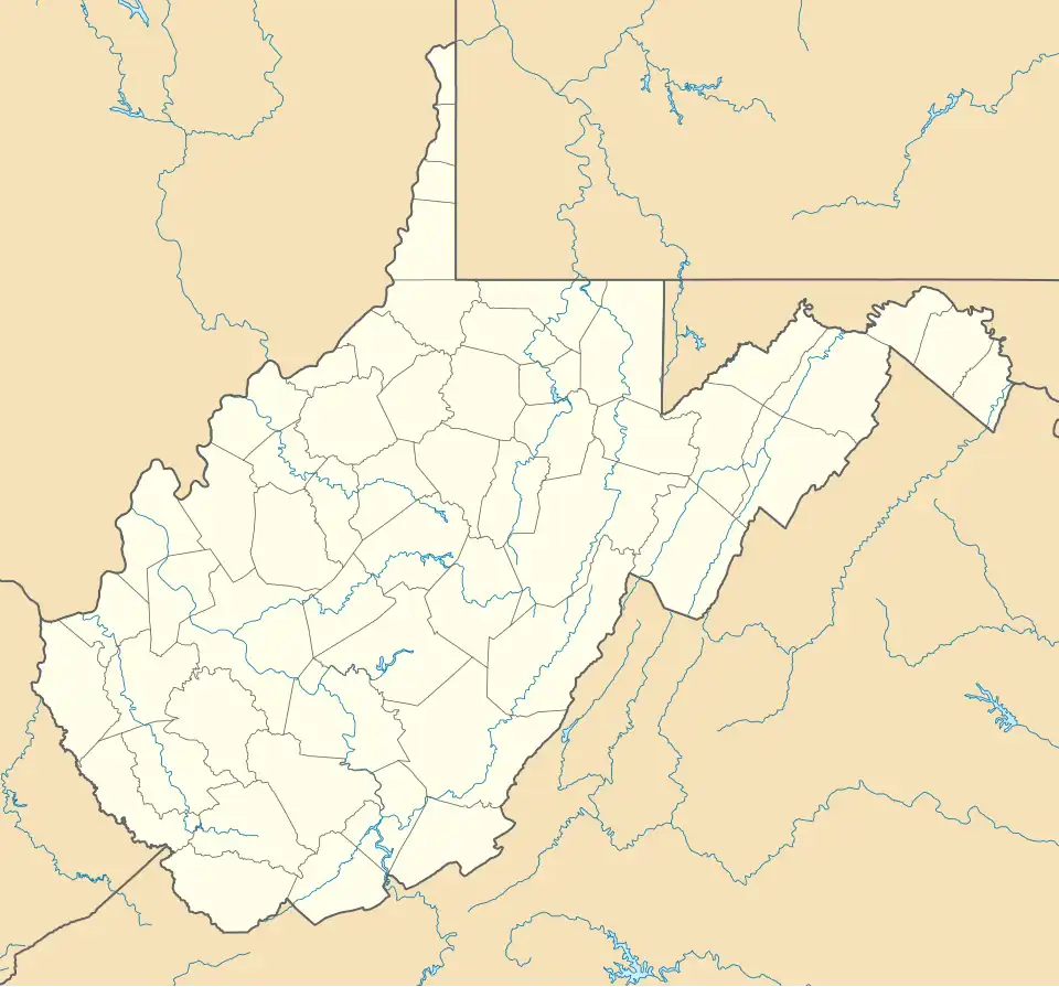 Panther Location within the state of West Virginia  Panther Panther (the United States) | |
| Coordinates: 37°29′00″N 81°53′45″W / 37.48333°N 81.89583°W | |
| Country | United States |
| State | West Virginia |
| County | McDowell |
| Elevation | 948 ft (289 m) |
| Time zone | UTC-5 (Eastern (EST)) |
| • Summer (DST) | UTC-4 (EDT) |
| ZIP code | 24872 |
| Area codes | 304 & 681 |
| GNIS feature ID | 1555299[1] |
Panther is an unincorporated community in McDowell County, West Virginia, United States. Panther is located along the Tug Fork, 4.5 miles (7.2 km) west-northwest of Iaeger. Panther has a post office with ZIP code 24872.[2]
The community was named after nearby Panther Creek.[3]
The village is on the Norfolk Southern Railway(former Norfolk and Western) network.
See also
References
- ^ "US Board on Geographic Names". United States Geological Survey. October 25, 2007. Retrieved January 31, 2008.
- ^ ZIP Code Lookup
- ^ Kenny, Hamill (1945). West Virginia Place Names: Their Origin and Meaning, Including the Nomenclature of the Streams and Mountains. Piedmont, WV: The Place Name Press. p. 472.
Municipalities and communities of McDowell County, West Virginia, United States | ||
|---|---|---|
| Cities | 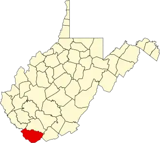 | |
| Towns | ||
| CDPs | ||
| Unincorporated communities |
| |
| Ghost town | ||
| Footnotes | ‡This populated place also has portions in an adjacent county or counties | |