Pachsdraai
Pachsdraai(Ga - Mogopa) | |
|---|---|
 Pachsdraai(Ga - Mogopa) 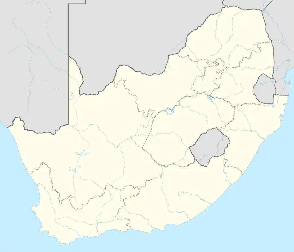 Pachsdraai(Ga - Mogopa) | |
| Coordinates: 25°12′22″S 26°23′38″E / 25.206°S 26.394°E | |
| Country | South Africa |
| Province | North West |
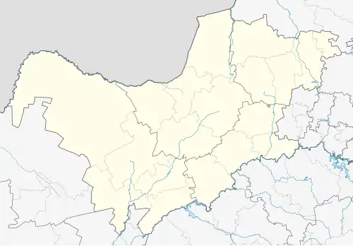
| District | Ngaka Modiri Molema |
| Municipality | Ramotshere Moiloa |
| Area | |
• Total | 3.16 km2 (1.22 sq mi) |
| Population (2025)[2] | |
• Total | 3,000 |
| • Density | 950/km2 (2,500/sq mi) |
| Racial makeup (2011) | |
| • Black African | 98.3% |
| • Indian/Asian | 0.3% |
| • White | 1.2% |
| • Other | 0.1% |
| First languages (2011) | |
| • Tswana | 93.6% |
| • English | 1.6% |
| • Afrikaans | 1.5% |
| • Other | 3.4% |
| Time zone | UTC+2 (SAST) |
Pachsdraai is a town in Ngaka Modiri Molema District Municipality in the North West province of South Africa.
References
- ^ a b c "Main Place Pachsdraai". Census 2011.
- ^ Cite error: The named reference
census2025was invoked but never defined (see the help page).
Municipalities and communities of Ngaka Modiri Molema District Municipality, North West | ||
|---|---|---|
District seat: Mahikeng | ||
| Ratlou | .svg.png) | |
| Tswaing | ||
| Mahikeng | ||
| Ditsobotla | ||
| Ramotshere Moiloa | ||