Pöyrisjärvi
| Pöyrisjärvi | |
|---|---|
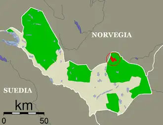 Pöyrisjärvi Lake in the Enontekiö Municipality is marked in red | |
 Pöyrisjärvi | |
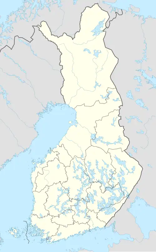
| Location | Enontekiö Municipality |
| Coordinates | 68°43′N 23°50′E / 68.717°N 23.833°E |
| Type | Lake |
| Primary outflows | Pöyrisjoki |
| Catchment area | Kemijoki |
| Basin countries | Finland, Norway |
| Max. length | 6.2 km (3.9 mi) |
| Max. width | 3.9 km (2.4 mi) |
| Surface area | 15.05 km2 (5.81 sq mi) |
| Surface elevation | 418.1 m (1,372 ft) |
| Islands | 12 |
| Settlements | Enontekiö |
| References | [1][2] |
Pöyrisjärvi a medium-sized lake in the Kemijoki main catchment area in the Enontekiö municipality of Finland, close to the border with Norway.[1]
See also
References
- ^ a b Pöyrisjärvi in the Jarviwiki Web Service. Retrieved 2014-03-07. (in English)
- ^ Citizen's Map Site (in Finnish)