Pázmándfalu
Pázmándfalu | |
|---|---|
 Flag  Coat of arms | |
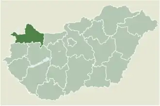 Location of Győr-Moson-Sopron county in Hungary | |
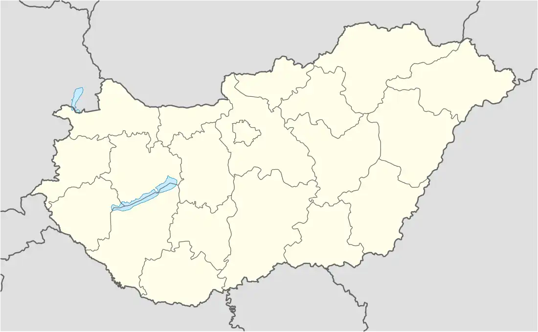 Pázmándfalu Location of Pázmándfalu | |
| Coordinates: 47°34′14″N 17°46′53″E / 47.57054°N 17.78126°E | |
| Country | |
| County | Győr-Moson-Sopron |
| Area | |
• Total | 19.39 km2 (7.49 sq mi) |
| Population (2004) | |
• Total | 965 |
| • Density | 49.76/km2 (128.9/sq mi) |
| Time zone | UTC+1 (CET) |
| • Summer (DST) | UTC+2 (CEST) |
| Postal code | 9085 |
| Area code | 96 |
Pázmándfalu is a village in Győr-Moson-Sopron county, Hungary.
In the 14th century it was property of the Cseszneky family.
References
External links
- Street map (in Hungarian)
- Pazmandfalu homepage