Pánuco, Zacatecas
Pánuco | |
|---|---|
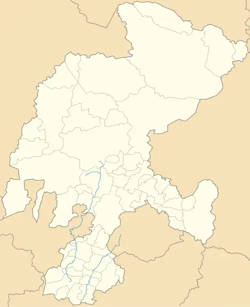 Pánuco Location in Mexico 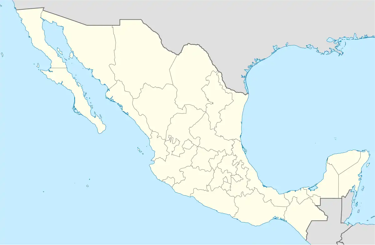 Pánuco Pánuco (Mexico) | |
| Coordinates: 22°31′24″N 102°19′21″W / 22.52333°N 102.32250°W | |
| Country | |
| State | Zacatecas |
| Municipality | Pánuco |
| Founded | 1 November 1548 |
| Elevation | 2,292 m (7,520 ft) |
| Population (2020) | |
• Total | 1,177 |
| Area code | 846 |
| Website | www.panuco.gob.mx |
Pánuco (Spanish: [ˈpanuko] ⓘ) is a locality in the Mexican state of Zacatecas. It serves as the municipal seat of the eponymous Pánuco Municipality.
History
Pánuco was founded on 1 November 1548 by explorers Diego de Ibarra, Francisco de Ibarra, and Cristóbal de Oñate.[1] It became the seat of the eponymous municipality upon its foundation in 1824.[2]
Demographics
In the 2020 Mexican Census, Pánuco recorded a population of 1,177 inhabitants living in 434 households.[3]
References
- ^ "Enciclopedia de los Municipios de México". Archived from the original on 2007-05-22. Retrieved 2008-12-10.
- ^ Centro Estatal de Estudios Municipales del Estado de Zacatecas. Secretariat of the Interior. 1988.
- ^ Pánuco, Pánuco, Zacatecas (320370001) (in Spanish). INEGI. 2021. Retrieved 10 March 2022.