Oukoop, Utrecht
Oukoop | |
|---|---|
Hamlet | |
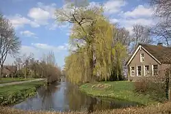 Farm in Oukoop | |
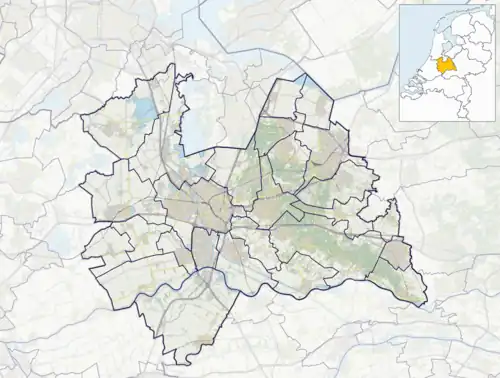 Oukoop Location in the Netherlands 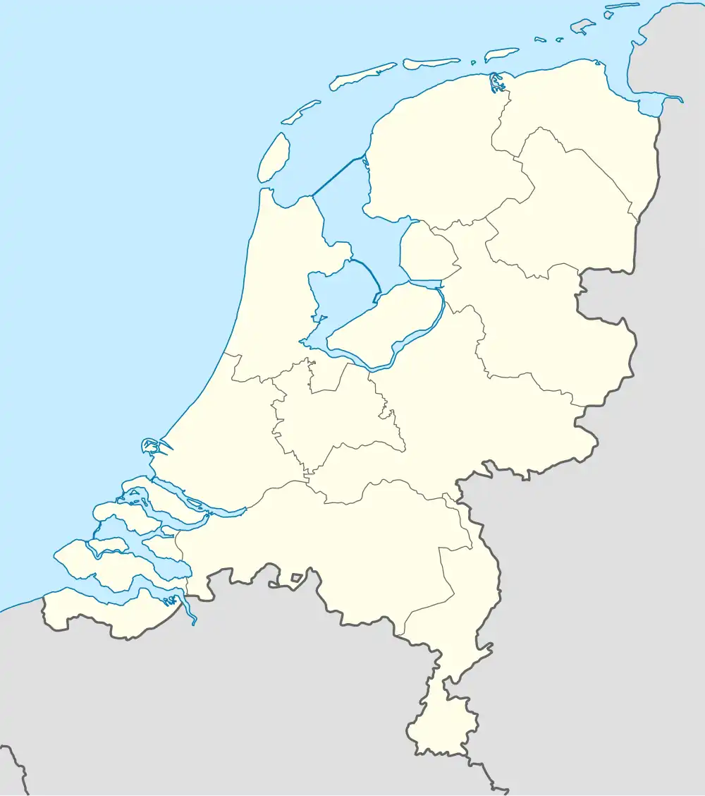 Oukoop Oukoop (Netherlands) | |
| Coordinates: 52°12′11″N 4°58′29″E / 52.20299°N 4.97475°E | |
| Country | Netherlands |
| Province | Utrecht |
| Municipality | Stichtse Vecht |
| Area | |
• Total | 7.51 km2 (2.90 sq mi) |
| Population (2021)[1] | |
• Total | 250 |
| • Density | 33/km2 (86/sq mi) |
| Time zone | UTC+1 (CET) |
| • Summer (DST) | UTC+2 (CEST) |
| Postal code | 3626[1] |
| Dialing code | 0294 |
Oukoop is a hamlet in the Dutch province of Utrecht. It is a part of the municipality of Stichtse Vecht, and lies about 14 km west of Hilversum.
The hamlet was first mentioned in 1217 as Aldencoep, and means "old (peat) concession".[2] In 1840, Oukoop was home to 111 people.[3]
References
- ^ a b c "Kerncijfers wijken en buurten 2021". Central Bureau of Statistics. Retrieved 27 March 2022.
- ^ "Oukoop - (geografische naam)". Etymologiebank (in Dutch). Retrieved 27 March 2022.
- ^ "Oukoop (Nieuwer-Ter-Aa)". Plaatsengids (in Dutch). Retrieved 27 March 2022.
Wikimedia Commons has media related to Oukoop (Utrecht).