Ojo Sarco, New Mexico
Ojo Sarco | |
|---|---|
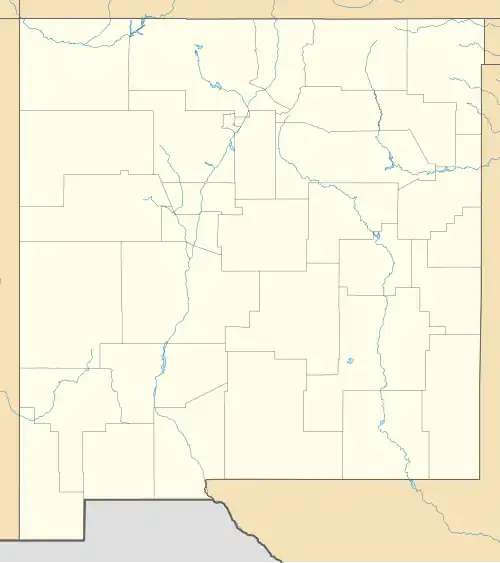 Ojo Sarco Location within the state of New Mexico  Ojo Sarco Ojo Sarco (the United States) | |
| Coordinates: 36°08′05″N 105°47′30″W / 36.13472°N 105.79167°W | |
| Country | United States |
| State | New Mexico |
| County | Rio Arriba |
| Area | |
• Total | 3.41 sq mi (8.83 km2) |
| • Land | 3.41 sq mi (8.83 km2) |
| • Water | 0.00 sq mi (0.00 km2) |
| Elevation | 7,399 ft (2,255 m) |
| Population | |
• Total | 277 |
| • Density | 81.26/sq mi (31.37/km2) |
| Time zone | UTC-7 (Mountain (MST)) |
| • Summer (DST) | UTC-6 (MDT) |
| Area code | 505 |
| GNIS feature ID | 2806744[2] |
Ojo Sarco is an unincorporated community located in Rio Arriba County, New Mexico, United States. Ojo Sarco is located in the Sangre de Cristo Mountains, 1 mile (1.6 km) from New Mexico State Road 76 and 1.5 miles (2.4 km) west-southwest of Las Trampas. Ojo Sarco had its own post office until June 8, 1996.[4] Ojo Sarco was founded by settlers on the Las Trampas Land Grant which dates back to 1751.
Demographics
| Census | Pop. | Note | %± |
|---|---|---|---|
| 2020 | 277 | — | |
| U.S. Decennial Census[5][3] | |||
Education
The southern portion is in Peñasco Independent Schools while the northern portion is in Española Public Schools.[6] The comprehensive public high school for the Española district is Española Valley High School.
References
- ^ "ArcGIS REST Services Directory". United States Census Bureau. Retrieved October 12, 2022.
- ^ a b U.S. Geological Survey Geographic Names Information System: Ojo Sarco, New Mexico
- ^ a b "Census Population API". United States Census Bureau. Retrieved October 12, 2022.
- ^ "Postmaster Finder - Post Offices by ZIP Code". United States Postal Service. Archived from the original on April 28, 2019. Retrieved August 20, 2014.
- ^ "Census of Population and Housing". Census.gov. Retrieved June 4, 2016.
- ^ "2020 CENSUS - SCHOOL DISTRICT REFERENCE MAP: Rio Arriba County, NM" (PDF). U.S. Census Bureau. Retrieved July 30, 2021.
Municipalities and communities of Rio Arriba County, New Mexico, United States | ||
|---|---|---|
| City | 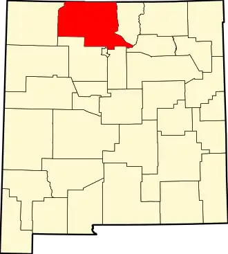 | |
| Village | ||
| CDPs |
| |
| Other communities | ||
| Ghost towns and former settlements | ||
| Indian reservations | ||
| Footnotes | ‡This populated place also has portions in an adjacent county or counties | |