Oja-Beyt, Iran
Oja-Beyt
جاءبِيت | |
|---|---|
town | |
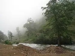 Countryside near Oja Beyt | |
 Oja-Beyt | |
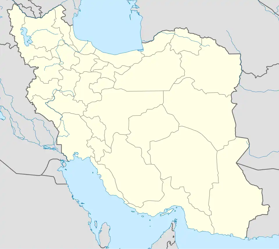
| Coordinates: 36°31′00″N 51°10′00″E / 36.51667°N 51.16667°E | |
| Country | |
| Province | Mazandaran |
| County | Chalus |
| Bakhsh | Kelardasht |
| Elevation | 1,372 m (4,501 ft) |
| Population (2006) | |
• Total | 4,768 |
| Time zone | UTC+3:30 (IRST) |
| • Summer (DST) | UTC+4:30 (IRDT) |
Oja-Beyt also known as جاءبِيت is a town in Chalus County, Iran.[1] It is located at latitude 36° 29' 28" N and longitude 51° 08' 36" E. It lies at an altitude of 1372 metres in the Alborz mountains, 50 km to the north of Tehran, and 25 km south of the Caspian Sea.[2]
The population is 476, and it is near the Alam-Kuh mountain and Sardab River.