Oed-Öhling
Oed-Oehling
Oed-Öhling | |
|---|---|
.JPG) Municipal office of Öhling | |
 Coat of arms | |
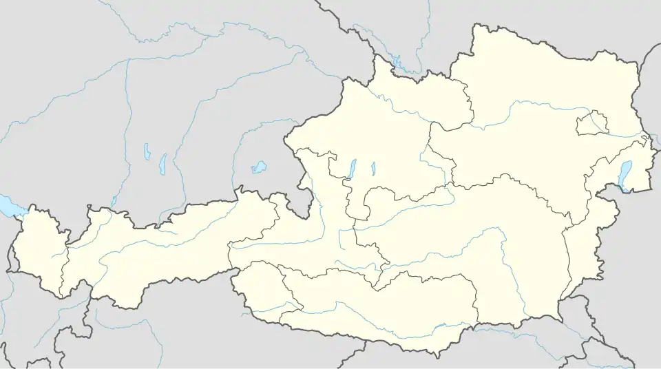 Oed-Oehling Location within Austria | |
| Coordinates: 48°6′N 14°46′E / 48.100°N 14.767°E | |
| Country | Austria |
| State | Lower Austria |
| District | Amstetten |
| Government | |
| • Mayor | Josef Dimberger |
| Area | |
• Total | 10.63 km2 (4.10 sq mi) |
| Elevation | 309 m (1,014 ft) |
| Population (2018-01-01)[2] | |
• Total | 1,884 |
| • Density | 180/km2 (460/sq mi) |
| Time zone | UTC+1 (CET) |
| • Summer (DST) | UTC+2 (CEST) |
| Postal code | 3312, 3362, 3361 |
| Area code | 07478, 07475, 07476 |
| Website | www.oed-oehling.at |
Oed-Öhling is a town in the district of Amstetten in Lower Austria in northern Austria. Oed has one primary school.
Geography
Oed-Oehling lies in the Mostviertel in Lower Austria. About 15 percent of the municipality is forested.
Education
The nearest secondary school is in Wallsee.
References
- ^ "Dauersiedlungsraum der Gemeinden Politischen Bezirke und Bundesländer - Gebietsstand 1.1.2018". Statistics Austria. Retrieved 10 March 2019.
- ^ Population at the beginning of the year for municipalities since 2002 (in German), Statistics Austria, January 2023, Wikidata Q27838750
External links
- www.oed-oehling.at - town website
-
.JPG) Parish church of Oed
Parish church of Oed -
.JPG) Parish church of Öhling
Parish church of Öhling