Northern Two Cayes Airstrip
Northern Two Cayes Airstrip | |||||||||||
|---|---|---|---|---|---|---|---|---|---|---|---|
| Summary | |||||||||||
| Airport type | Private | ||||||||||
| Serves | Northern Caye, Belize | ||||||||||
| Elevation AMSL | 19 ft / 6 m | ||||||||||
| Coordinates | 17°27′12″N 87°29′55″W / 17.45333°N 87.49861°W | ||||||||||
| Map | |||||||||||
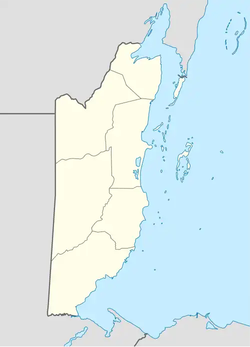 MZLH Location of airstrip in Belize | |||||||||||
| Runways | |||||||||||
| |||||||||||
Source: GCM[1] | |||||||||||
Northern Two Cayes Airstrip (ICAO: MZLH) is a public use airport serving Northern Caye, the largest island of the Lighthouse Reef off Belize.
See also
References
- ^ Airport information for Northern Two Cayes Airstrip at Great Circle Mapper.
External links
- Aerodromes in Belize - pdf